Heliport · United States

West 30th Street HeliportJRA
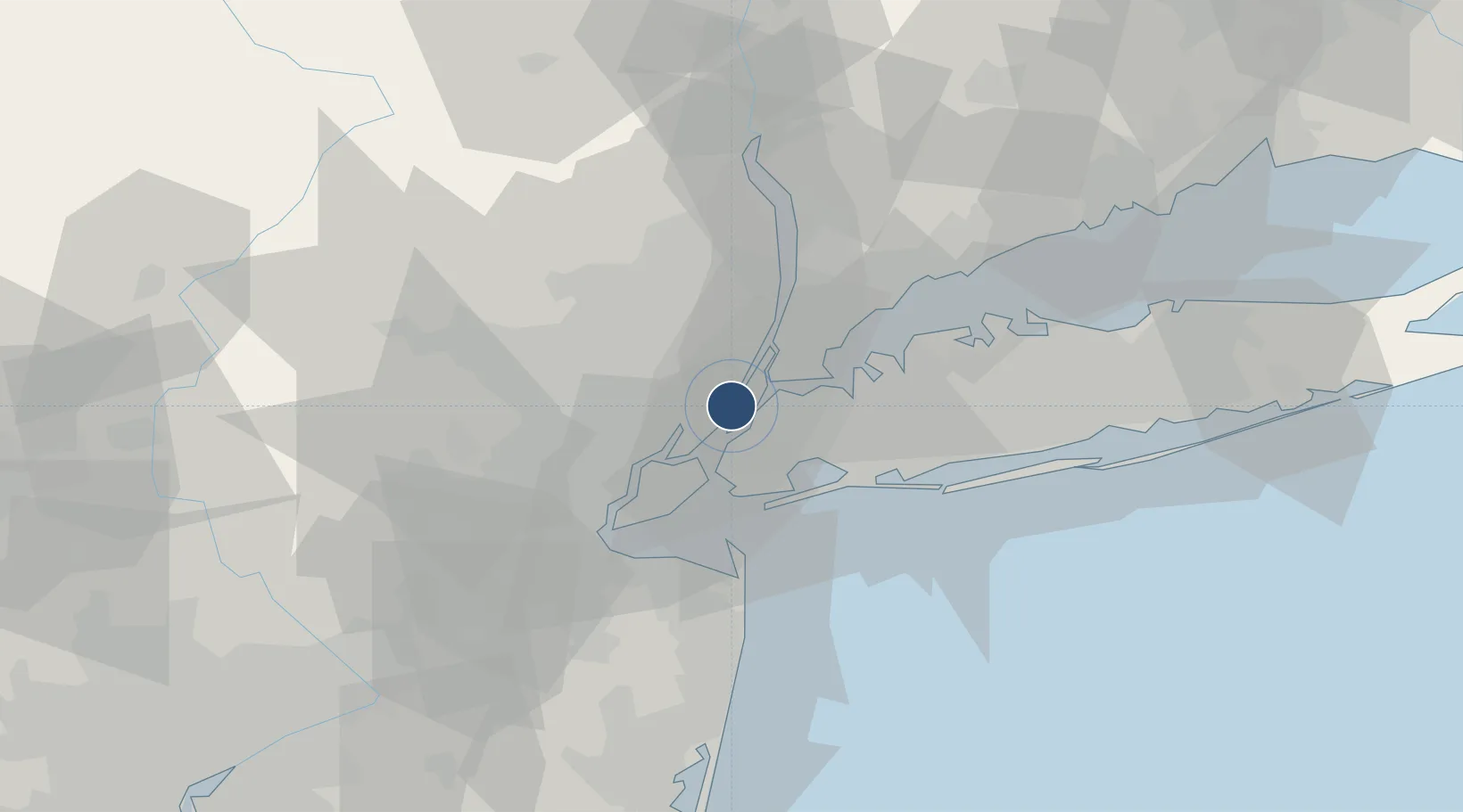
40.7551°, -74.0069°
44 ft
Longest runway
9
Runways
7 ft
Elevation

Runway & Layout

West 30th Street Heliport runway & taxiway layout
Runway & taxiway layout — OpenStreetMap (ODbL) / OurAirports

Runways · 9

RunwayDimensions SurfaceTrue headingLit
H1/H1 44 × 44ft ASPH
H10/H10 44 × 44ft ASPH
H11/H11 44 × 44ft ASPH
H2/H2 44 × 44ft ASPH
H3/H3 44 × 44ft ASPH-G
H4/H4 44 × 44ft ASPH
H5/H5 37 × 37ft ASPH
H6/H6 37 × 37ft ASPH
H7/H7 37 × 37ft ASPH
OurAirports

Airport Specifications

IATA code
JRA
OurAirports
ICAO code
KJRA
OurAirports
Airport class
Heliport
OurAirports
Scheduled service
Yes
OurAirports
Runway surface
ASPH
OurAirports
Served city
New York
OurAirports

Location

Location of JRA
Natural Earth 10m (public domain) · New Jersey · JRA · 40.76, -74.01GoogleOSMYandex

Nearby Logistics Neighbours

Airports
  1. 1East 34th Street Heliport3 km
  2. 2New York Skyports Inc Seaplane Base4 km
  3. 3Teterboro Airport12 km
  4. 4LaGuardia Airport12 km
  5. 5Newark Liberty International Airport16 km
Nearest neighbours — logibook spatial index (haversine) over the source coordinates
Cities
  1. 1Guttenberg3 km
  2. 2Croxton4 km
  3. 3Manhattan/New York5 km
  4. 4Fair View7 km
  5. 5Jersey City8 km
Nearest neighbours — logibook spatial index (haversine) over the source coordinates
Ports
  1. 1Hoboken1 km
  2. 2Weehawken2 km
  3. 3Jersey City5 km
  4. 4New York City6 km
  5. 5Edgewater7 km
Nearest neighbours — logibook spatial index (haversine) over the source coordinates
Trade Zones
  1. 1FTZ No. 001 New York City5 km
  2. 2FTZ No. 049 Newark Elizabeth16 km
  3. 3FTZ No. 052 Suffolk County71 km
  4. 4FTZ No. 044 Morris County73 km
  5. 5FTZ No. 235 Lakewood79 km
Nearest neighbours — logibook spatial index (haversine) over the source coordinates
DatabookThe Record of Consolidated Knowledge
United States beyond logistics?
Browse databook

All Sources

AirportsOurAirports
Public domain
Portsthe NGA World Port Index
Public domain (US gov)
LocationsUN/LOCODE
UN/LOCODE — free
Trade Zonesthe World Bank SEZ database
CC BY 4.0
Trade ZonesOpen Zone Map
CC BY
InfrastructureOpenStreetMap
ODbL 1.0
← United States airports