UN/LOCODE hub · United States
USHHK
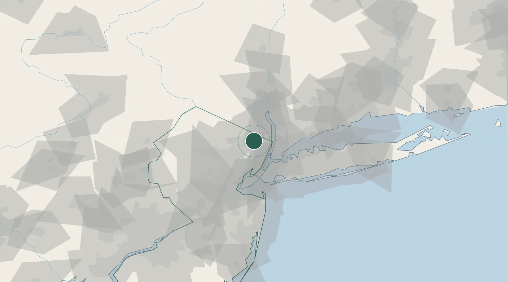
Ho-Ho-Kus
41.0000°, -74.1000°
4,165
Population
3
Transport functions
Transport Functions
Port
Rail
Road
Hub Profile
Place type
Populated place
Region
New Jersey
Population
4,165
Time zone
America/New_York
Elevation
38 m
Location
Nearby Logistics Neighbours
Cities
- 1Saddle River2 km
- 2Wyckoff6 km
- 3River Edge9 km
- 4Dumont11 km
- 5Nanuet13 km
Ports
- 1Yonkers18 km
- 2Edgewater23 km
- 3Weehawken27 km
- 4Hoboken29 km
- 5City Island31 km
Airports
- 1Teterboro Airport17 km
- 2West 30th Street Heliport28 km
- 3East 34th Street Heliport31 km
- 4LaGuardia Airport31 km
- 5New York Skyports Inc Seaplane Base31 km
Trade Zones
DatabookThe Record of Consolidated Knowledge
United States beyond logistics?