UN/LOCODE hub · United States
USZWK
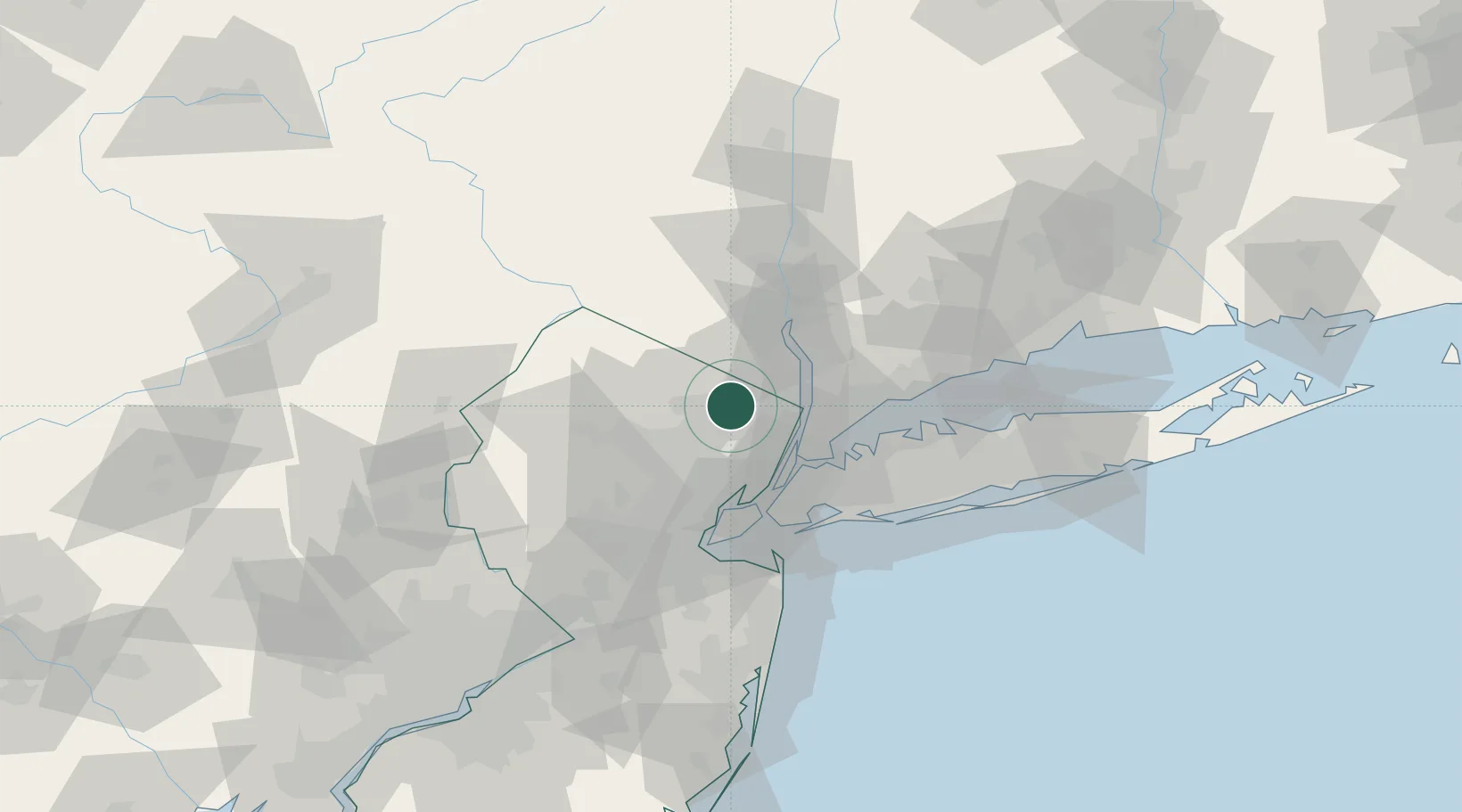
Wyckoff
41.0000°, -74.1667°
17,124
Population
4
Transport functions
Transport Functions
Port
Rail
Road
Multimodal
Hub Profile
Place type
Populated place
Region
New Jersey
Population
17,124
Time zone
America/New_York
Elevation
107 m
Location
Nearby Logistics Neighbours
DatabookThe Record of Consolidated Knowledge
United States beyond logistics?