UN/LOCODE hub · United States
USSPV

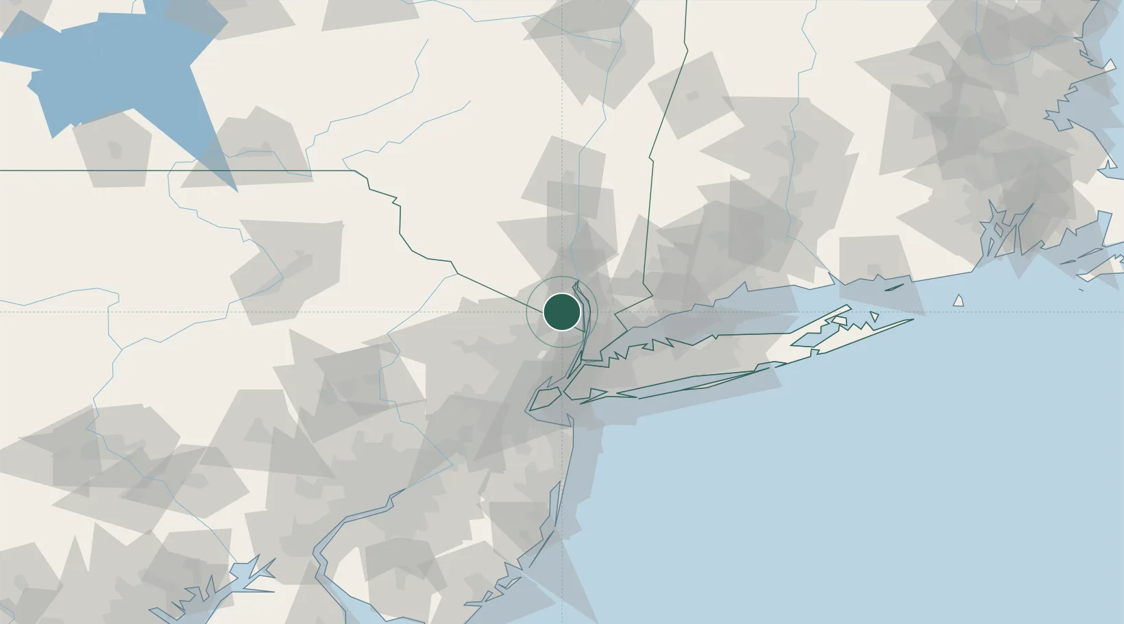
Spring Valley, Rockland

41.1167°, -74.0500°
2
Transport functions

Transport Functions

Rail
Road
UN/LOCODE

Hub Profile

Region
NY
GeoNames

Location

Location of USSPV
Natural Earth 10m (public domain) · NY · USSPV · 41.12, -74.05GoogleOSMYandex

Nearby Logistics Neighbours

Cities
  1. 1Nanuet6 km
  2. 2Hillburn10 km
  3. 3Congers11 km
  4. 4Garnerville11 km
  5. 5Nyack12 km
Nearest neighbours — logibook spatial index (haversine) over the source coordinates
Ports
  1. 1Yonkers24 km
  2. 2Edgewater34 km
  3. 3Port Chester35 km
  4. 4City Island37 km
  5. 5Greenwich38 km
Nearest neighbours — logibook spatial index (haversine) over the source coordinates
Airports
  1. 1Westchester County Airport29 km
  2. 2Teterboro Airport30 km
  3. 3West 30th Street Heliport40 km
  4. 4LaGuardia Airport41 km
  5. 5East 34th Street Heliport42 km
Nearest neighbours — logibook spatial index (haversine) over the source coordinates
Trade Zones
  1. 1FTZ No. 001 New York City45 km
  2. 2FTZ No. 049 Newark Elizabeth49 km
  3. 3FTZ No. 076 Bridgeport72 km
  4. 4FTZ No. 044 Morris County73 km
  5. 5FTZ No. 052 Suffolk County75 km
Nearest neighbours — logibook spatial index (haversine) over the source coordinates
DatabookThe Record of Consolidated Knowledge
United States beyond logistics?
Browse databook

All Sources

LocationsUN/LOCODE
UN/LOCODE — free
Portsthe NGA World Port Index
Public domain (US gov)
AirportsOurAirports
Public domain
Trade Zonesthe World Bank SEZ database
CC BY 4.0
Trade ZonesOpen Zone Map
CC BY
← United States locations