UN/LOCODE hub · United States
USS4Y

Sarita

27.2167°, -97.7833°
238
Population
2
Transport functions

Transport Functions

Port
Road
UN/LOCODE

Hub Profile

Place type
Provincial seat
GeoNames
Region
Texas
GeoNames
Population
238
GeoNames
Time zone
America/Chicago
GeoNames
Elevation
11 m
GeoNames

Location

Location of USS4Y
Natural Earth 10m (public domain) · Texas · USS4Y · 27.22, -97.78GoogleOSMYandex

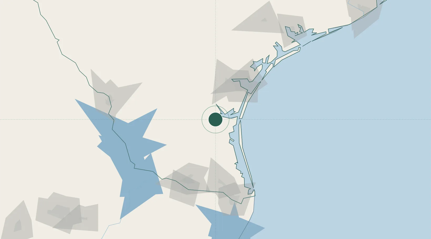
Nearby Logistics Neighbours

Cities
  1. 1Premont36 km
  2. 2San Diego76 km
  3. 3Linn81 km
  4. 4Odem84 km
  5. 5Edroy84 km
Nearest neighbours — logibook spatial index (haversine) over the source coordinates
Ports
  1. 1Corpus Christi77 km
  2. 2Port Ingleside89 km
  3. 3Port Aransas100 km
  4. 4Rockport115 km
  5. 5Port Isabel139 km
Nearest neighbours — logibook spatial index (haversine) over the source coordinates
Airports
  1. 1Kingsville Naval Air Station32 km
  2. 2Alice International Airport63 km
  3. 3Corpus Christi International Airport68 km
  4. 4Naval Air Station Corpus Christi Truax Field72 km
  5. 5Valley International Airport111 km
Nearest neighbours — logibook spatial index (haversine) over the source coordinates
Trade Zones
  1. 1FTZ No. 122 Corpus Christi76 km
  2. 2FTZ No. 156 Weslaco120 km
  3. 3FTZ No. 157 Casper120 km
  4. 4FTZ No. 012 McAllen128 km
  5. 5FTZ No. 095 Starr County139 km
Nearest neighbours — logibook spatial index (haversine) over the source coordinates
DatabookThe Record of Consolidated Knowledge
United States beyond logistics?
Browse databook

All Sources

LocationsUN/LOCODE
UN/LOCODE — free
LocationsGeoNames
CC BY 4.0
Portsthe NGA World Port Index
Public domain (US gov)
AirportsOurAirports
Public domain
Trade Zonesthe World Bank SEZ database
CC BY 4.0
Trade ZonesOpen Zone Map
CC BY
← United States locations