Transport Functions
Road
Multimodal
Hub Profile
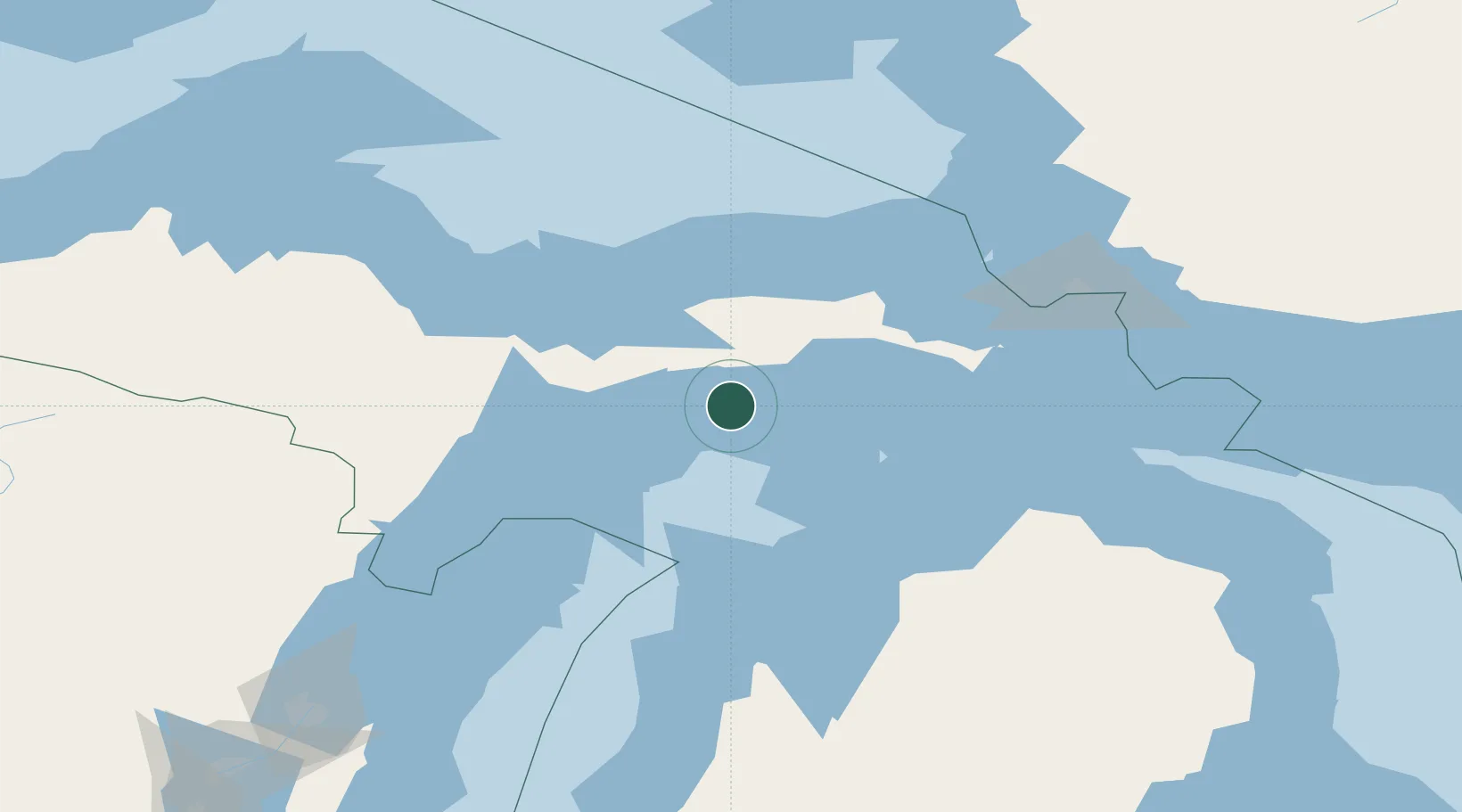
Place type
Populated place
Region
Michigan
Time zone
America/Detroit
Elevation
190 m
Location
Nearby Logistics Neighbours
Cities
- 1Beaver Island51 km
- 2Brevort75 km
- 3Kingsley97 km
- 4Harbor Springs100 km
- 5Northport101 km
Ports
- 1Manistique20 km
- 2Munising70 km
- 3Gladstone80 km
- 4Escanaba85 km
- 5Charlevoix94 km
Airports
Trade Zones
- 1FTZ No. 016 Sault Ste. Marie135 km
- 2FTZ No. 167 Brown County246 km
- 3FTZ No. 019 Omaha305 km
- 4FTZ No. 189 Kent Ottawa/Muskegon Counties306 km
- 5FTZ No. 101 Clinton County352 km
DatabookThe Record of Consolidated Knowledge
United States beyond logistics?