Channel & Berth Profile
Pilotage, Tugs & Services
Tug assistanceNO
Salvage tugsNO
Shore powerYES
Potable waterYES
Diesel bunkersYES
MedicalYES
Facilities & Capabilities
Container—
Ro-Ro—
Liquid bulk—
Dry bulk—
Oil terminal—
Break bulk—
Dry dock—
Repairs—
BunkeringYES
Rail link—
Dangerous cargo—
ISPS security—
Harbour Specifications
Harbour size
Very Small
Harbour type
Coastal (Breakwater)
Shelter
Fair
Water body
Lake Michigan; Great Lakes
Overhead limit
No
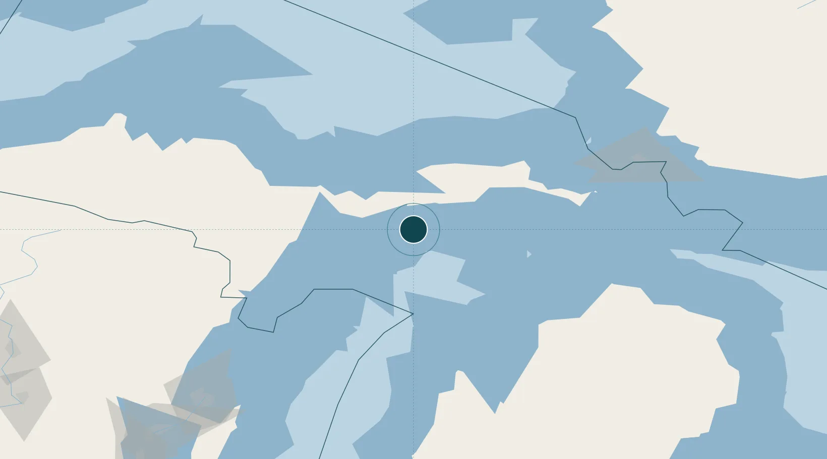
Location
Nearby Logistics Neighbours
Ports
- 1Munising60 km
- 2Gladstone60 km
- 3Escanaba65 km
- 4Charlevoix104 km
- 5Marquette109 km
Cities
- 1Gulliver20 km
- 2Beaver Island64 km
- 3Kingsley77 km
- 4Brevort94 km
- 5Wilson96 km
Airports
- 1Beaver Island Airport60 km
- 2Welke Airport62 km
- 3Delta County Airport70 km
- 4Marquette/Sawyer International Airport99 km
- 5Charlevoix Municipal Airport104 km
Trade Zones
- 1FTZ No. 016 Sault Ste. Marie154 km
- 2FTZ No. 167 Brown County230 km
- 3FTZ No. 019 Omaha298 km
- 4FTZ No. 189 Kent Ottawa/Muskegon Counties302 km
- 5FTZ No. 041 Milwaukee354 km
DatabookThe Record of Consolidated Knowledge
United States beyond logistics?