UN/LOCODE hub · United States
USHS3
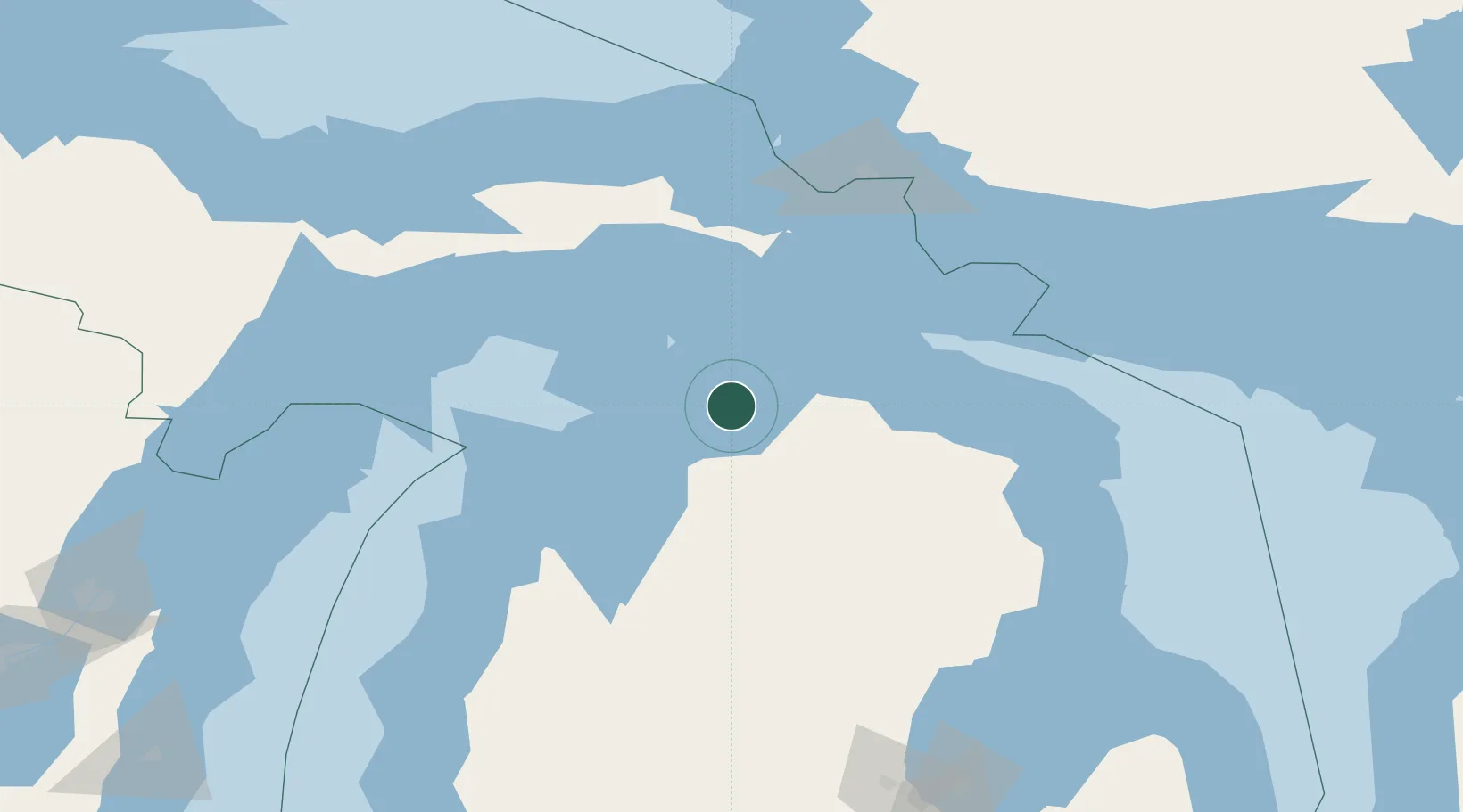
Harbor Springs
45.4333°, -84.9833°
1,201
Population
2
Transport functions
Transport Functions
Port
Road
Hub Profile
Place type
Populated place
Region
Michigan
Population
1,201
Time zone
America/Detroit
Elevation
204 m
Location
Nearby Logistics Neighbours
Cities
- 1Conway9 km
- 2Alanson16 km
- 3Pellston20 km
- 4Boyne City24 km
- 5Boyne Falls30 km
Ports
- 1Petoskey8 km
- 2Charlevoix26 km
- 3Mackinaw City44 km
- 4Cheboygan47 km
- 5Mackinac Island54 km
Airports
Trade Zones
- 1FTZ No. 016 Sault Ste. Marie125 km
- 2FTZ No. 189 Kent Ottawa/Muskegon Counties266 km
- 3FTZ No. 019 Omaha276 km
- 4FTZ No. 101 Clinton County278 km
- 5FTZ No. 167 Brown County282 km
DatabookThe Record of Consolidated Knowledge
United States beyond logistics?