Transport Functions
Port
Hub Profile
Place type
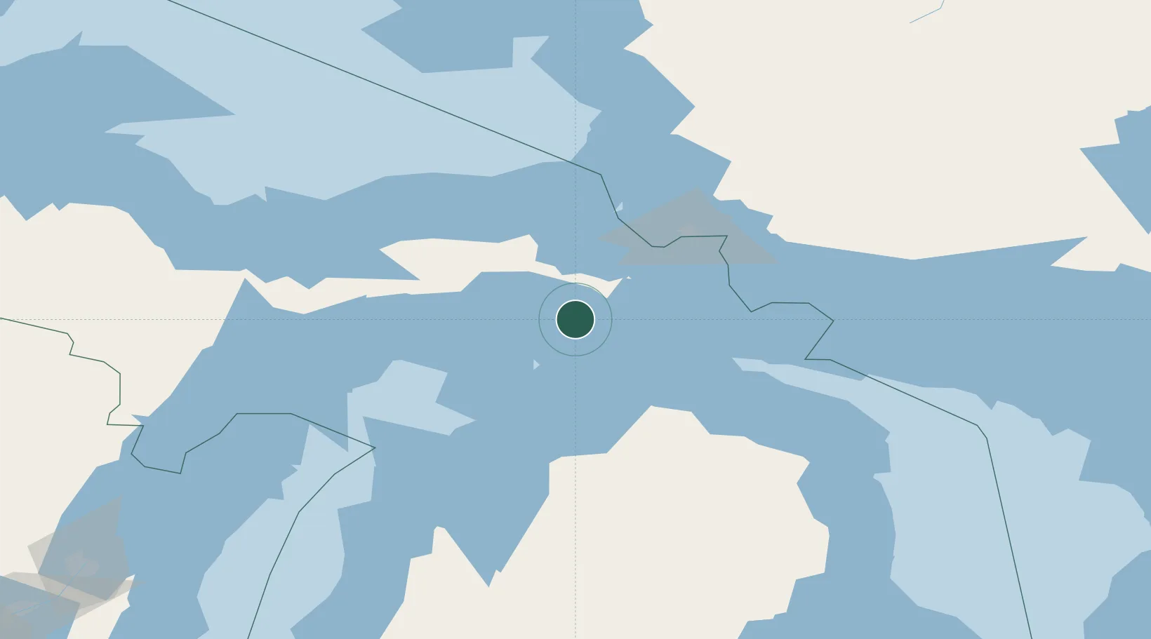
Populated place
Region
Michigan
Time zone
America/Detroit
Elevation
182 m
Location
Nearby Logistics Neighbours
Cities
- 1Rudyard40 km
- 2Kinross49 km
- 3Pellston55 km
- 4Brimley56 km
- 5Beaver Island57 km
Ports
- 1Mackinaw City36 km
- 2Mackinac Island37 km
- 3Cheboygan60 km
- 4Harbor Springs65 km
- 5Petoskey73 km
Airports
Trade Zones
- 1FTZ No. 016 Sault Ste. Marie71 km
- 2FTZ No. 167 Brown County308 km
- 3FTZ No. 189 Kent Ottawa/Muskegon Counties325 km
- 4FTZ No. 019 Omaha332 km
- 5FTZ No. 101 Clinton County342 km
DatabookThe Record of Consolidated Knowledge
United States beyond logistics?