Transport Functions
Port
Hub Profile
Place type
Populated place
Region
North Carolina
Time zone
America/New_York
Elevation
290 m
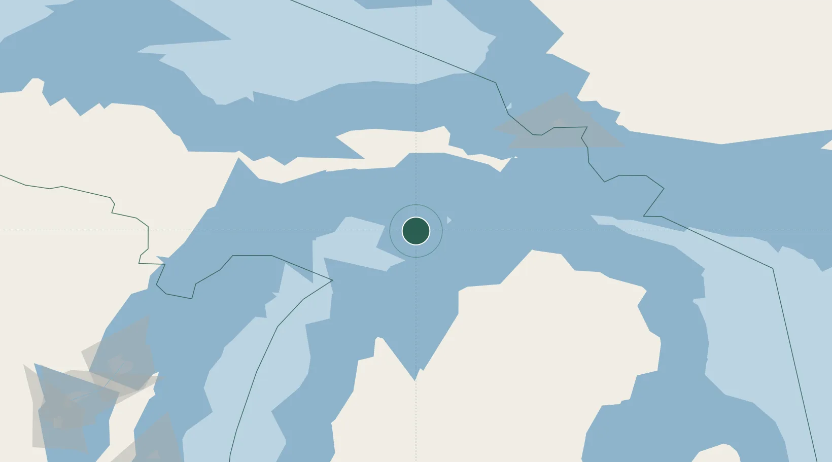
Location
Nearby Logistics Neighbours
Cities
- 1Harbor Springs50 km
- 2Gulliver51 km
- 3Brevort57 km
- 4Conway59 km
- 5Northport60 km
Ports
- 1Charlevoix43 km
- 2Harbor Springs50 km
- 3Petoskey55 km
- 4Manistique64 km
- 5Mackinaw City66 km
Airports
Trade Zones
- 1FTZ No. 016 Sault Ste. Marie128 km
- 2FTZ No. 167 Brown County252 km
- 3FTZ No. 189 Kent Ottawa/Muskegon Counties275 km
- 4FTZ No. 019 Omaha279 km
- 5FTZ No. 101 Clinton County308 km
DatabookThe Record of Consolidated Knowledge
United States beyond logistics?