Transport Functions
Port
Rail
Road
Multimodal
Hub Profile
Place type
Populated place
Region
Michigan
Population
531
Time zone
America/Detroit
Elevation
185 m
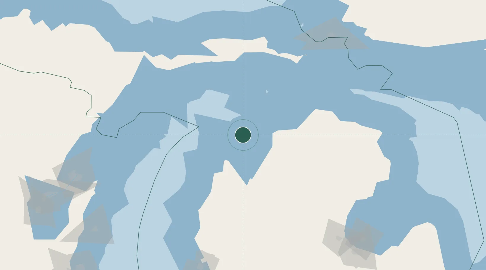
Location
Nearby Logistics Neighbours
Cities
- 1Suttons Bay17 km
- 2Central Lake29 km
- 3Williamsburg43 km
- 4Boyne City50 km
- 5Grawn52 km
Ports
- 1Charlevoix35 km
- 2Traverse City39 km
- 3Petoskey58 km
- 4Harbor Springs61 km
- 5Frankfort73 km
Airports
Trade Zones
- 1FTZ No. 016 Sault Ste. Marie179 km
- 2FTZ No. 189 Kent Ottawa/Muskegon Counties216 km
- 3FTZ No. 019 Omaha222 km
- 4FTZ No. 167 Brown County223 km
- 5FTZ No. 101 Clinton County252 km
DatabookThe Record of Consolidated Knowledge
United States beyond logistics?