Channel & Berth Profile
Pilotage, Tugs & Services
Pilotage compulsoryYES
Tug assistanceYES
Potable waterYES
Diesel bunkersYES
MedicalYES
Facilities & Capabilities
ContainerYES
Ro-Ro—
Liquid bulk—
Dry bulk—
Oil terminal—
Break bulkYES
Dry dock—
RepairsNO
BunkeringYES
Rail linkYES
Dangerous cargo—
ISPS security—
Harbour Specifications
Harbour size
Small
Harbour type
Coastal (Natural)
Shelter
Good
Water body
Lake Michigan; Great Lakes
Overhead limit
Yes
Pilotage
Yes
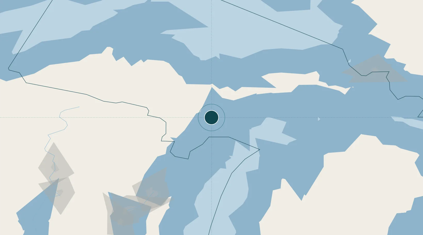
Location
Nearby Logistics Neighbours
Ports
- 1Gladstone10 km
- 2Manistique65 km
- 3Munising79 km
- 4Menominee86 km
- 5Marinette87 km
Cities
- 1Kingsley23 km
- 2Wilson31 km
- 3Cedar River47 km
- 4Stephenson59 km
- 5Norway66 km
Airports
- 1Delta County Airport6 km
- 2Marquette/Sawyer International Airport70 km
- 3Ford Airport83 km
- 4Beaver Island Airport115 km
- 5Welke Airport119 km
Trade Zones
- 1FTZ No. 167 Brown County175 km
- 2FTZ No. 016 Sault Ste. Marie219 km
- 3FTZ No. 019 Omaha276 km
- 4FTZ No. 189 Kent Ottawa/Muskegon Counties288 km
- 5FTZ No. 041 Milwaukee313 km
DatabookThe Record of Consolidated Knowledge
United States beyond logistics?