UN/LOCODE hub · United States
USRNV
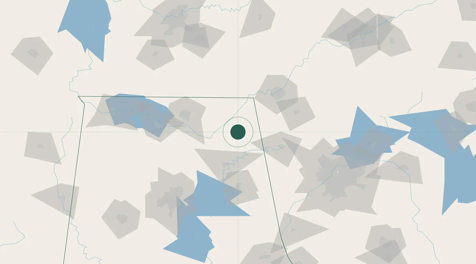
Rainsville
34.4833°, -85.8333°
5,031
Population
2
Transport functions
Transport Functions
Road
Multimodal
Hub Profile
Place type
Populated place
Region
Alabama
Population
5,031
Time zone
America/Chicago
Elevation
391 m
Location
Nearby Logistics Neighbours
Cities
- 1Henagar17 km
- 2Mentone25 km
- 3Collinsville26 km
- 4Cedar Bluff38 km
- 5Grant39 km
Ports
- 1Pensacola472 km
- 2Mobile474 km
- 3Panama City484 km
- 4Savannah516 km
- 5Pascagoula526 km
Airports
Trade Zones
- 1FTZ No. 134 Chattanooga80 km
- 2FTZ No. 083 Huntsville87 km
- 3FTZ No. 270 Lawrence County101 km
- 4FTZ No. 265 Conroe (Montgomery County)105 km
- 5FTZ No. 098 Birmingham140 km
DatabookThe Record of Consolidated Knowledge
United States beyond logistics?