UN/LOCODE hub · United States
USGTA

Grant

34.5333°, -86.2500°
903
Population
2
Transport functions

Transport Functions

Road
Multimodal
UN/LOCODE

Hub Profile

Place type
Populated place
GeoNames
Region
Alabama
GeoNames
Population
903
GeoNames
Time zone
America/Chicago
GeoNames
Elevation
374 m
GeoNames

Location

Location of USGTA
Natural Earth 10m (public domain) · Alabama · USGTA · 34.53, -86.25GoogleOSMYandex

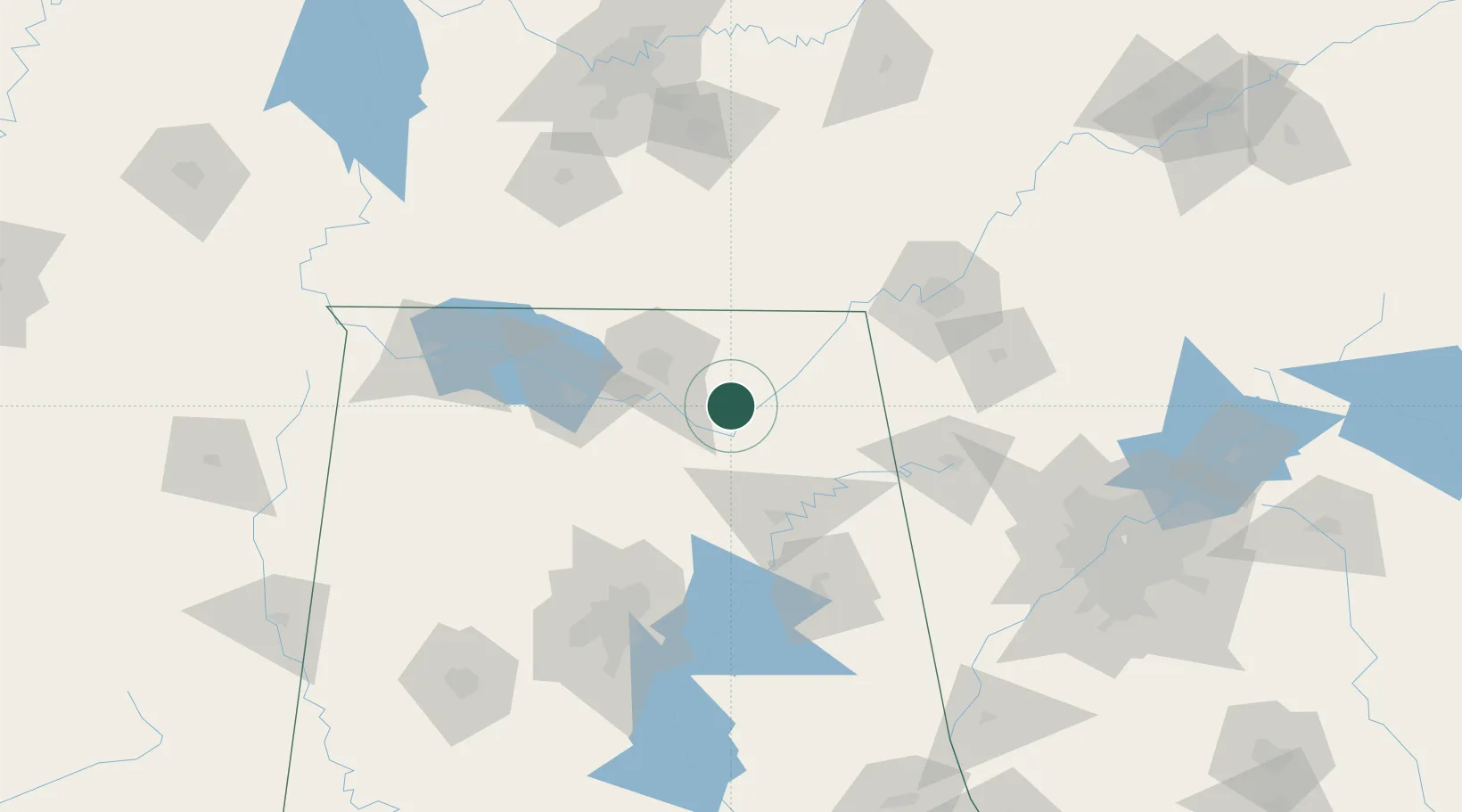
Nearby Logistics Neighbours

Cities
  1. 1Guntersville21 km
  2. 2Gurley22 km
  3. 3Brownsboro28 km
  4. 4Boaz38 km
  5. 5Rainsville39 km
Nearest neighbours — logibook spatial index (haversine) over the source coordinates
Ports
  1. 1Port Of Memphis363 km
  2. 2Mobile462 km
  3. 3Pensacola469 km
  4. 4Panama City493 km
  5. 5Pascagoula513 km
Nearest neighbours — logibook spatial index (haversine) over the source coordinates
Airports
  1. 1Redstone Army Air Field43 km
  2. 2Huntsville International Airport49 km
  3. 3Richard B Russell Airport102 km
  4. 4Chattanooga Metropolitan Airport (Lovell Field)111 km
  5. 5Anniston Regional Airport111 km
Nearest neighbours — logibook spatial index (haversine) over the source coordinates
Trade Zones
  1. 1FTZ No. 083 Huntsville49 km
  2. 2FTZ No. 270 Lawrence County62 km
  3. 3FTZ No. 265 Conroe (Montgomery County)66 km
  4. 4FTZ No. 134 Chattanooga101 km
  5. 5FTZ No. 098 Birmingham124 km
Nearest neighbours — logibook spatial index (haversine) over the source coordinates
DatabookThe Record of Consolidated Knowledge
United States beyond logistics?
Browse databook

All Sources

LocationsUN/LOCODE
UN/LOCODE — free
LocationsGeoNames
CC BY 4.0
Portsthe NGA World Port Index
Public domain (US gov)
AirportsOurAirports
Public domain
Trade Zonesthe World Bank SEZ database
CC BY 4.0
Trade ZonesOpen Zone Map
CC BY
← United States locations