Transport Functions
Road
Multimodal
Hub Profile
Place type
Populated place
Region
Arkansas
Population
1,084
Time zone
America/Chicago
Elevation
277 m
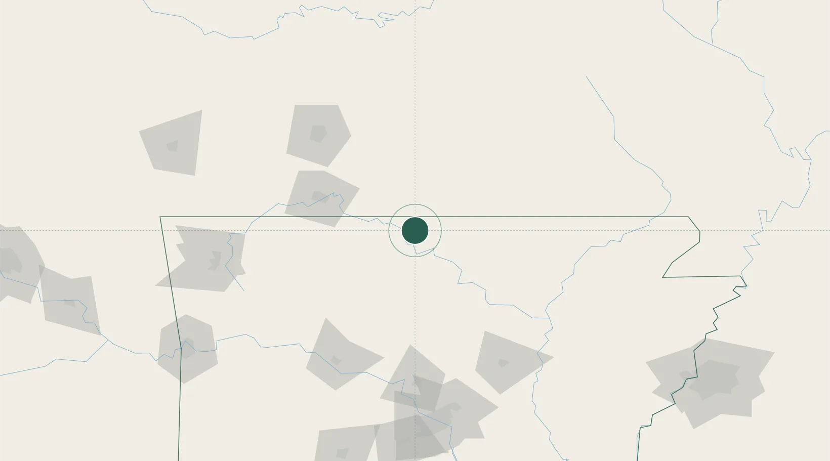
Location
Nearby Logistics Neighbours
Cities
- 1Flippin16 km
- 2Norfork25 km
- 3Tecumseh27 km
- 4Western Grove54 km
- 5Melbourne63 km
Ports
- 1Port Of Memphis254 km
- 2Baton Rouge670 km
- 3Lake Charles690 km
- 4Madisonville699 km
- 5Orange710 km
Airports
Trade Zones
- 1FTZ No. 225 Springfield110 km
- 2FTZ No. 014 Little Rock187 km
- 3FTZ No. 077 Memphis244 km
- 4FTZ No. 273 West Memphis247 km
- 5FTZ No. 287 Tunica County251 km
DatabookThe Record of Consolidated Knowledge
United States beyond logistics?