Transport Functions
Port
Road
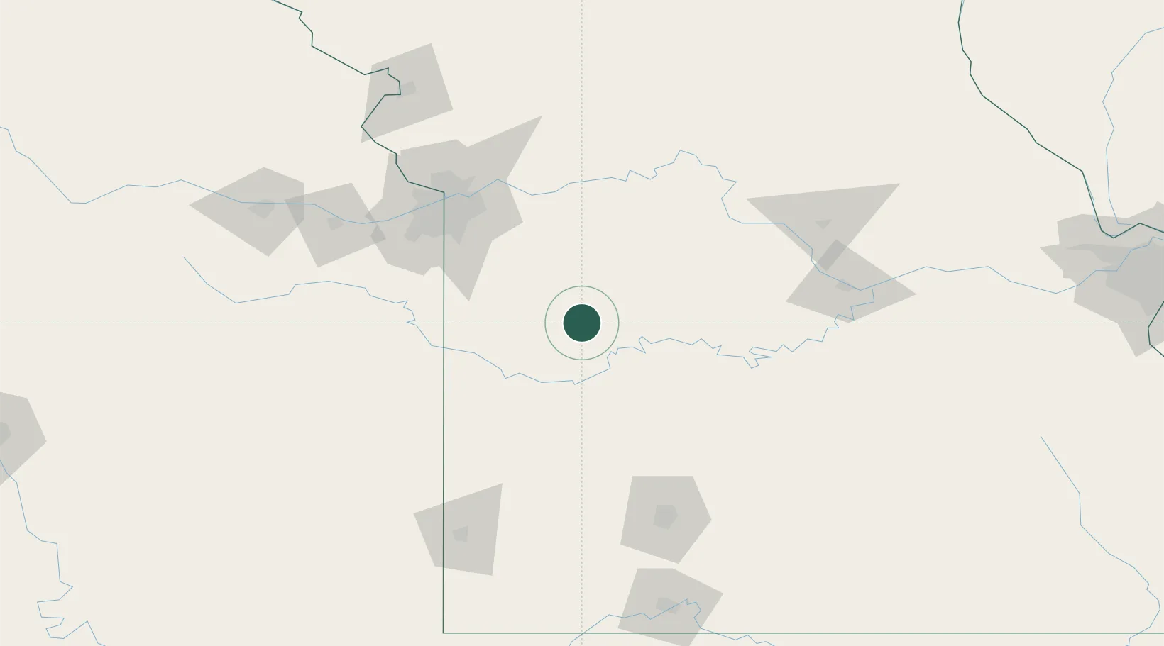
Hub Profile
Place type
Provincial seat
Region
Missouri
Population
8,899
Time zone
America/Chicago
Elevation
245 m
Location
Nearby Logistics Neighbours
Cities
- 1Osceola36 km
- 2Green Ridge42 km
- 3Knob Noster49 km
- 4Kingsville49 km
- 5Harwood56 km
Ports
- 1Port Of Memphis488 km
- 2Calumet Harbor651 km
- 3Indiana Harbor653 km
- 4Chicago655 km
- 5Gary657 km
Airports
Trade Zones
- 1FTZ No. 015 Kansas City110 km
- 2FTZ No. 017 Kansas City123 km
- 3FTZ No. 225 Springfield141 km
- 4FTZ No. 102 St. Louis County269 km
- 5FTZ No. 053 Rogers County291 km
DatabookThe Record of Consolidated Knowledge
United States beyond logistics?