UN/LOCODE hub · United States
USSS9
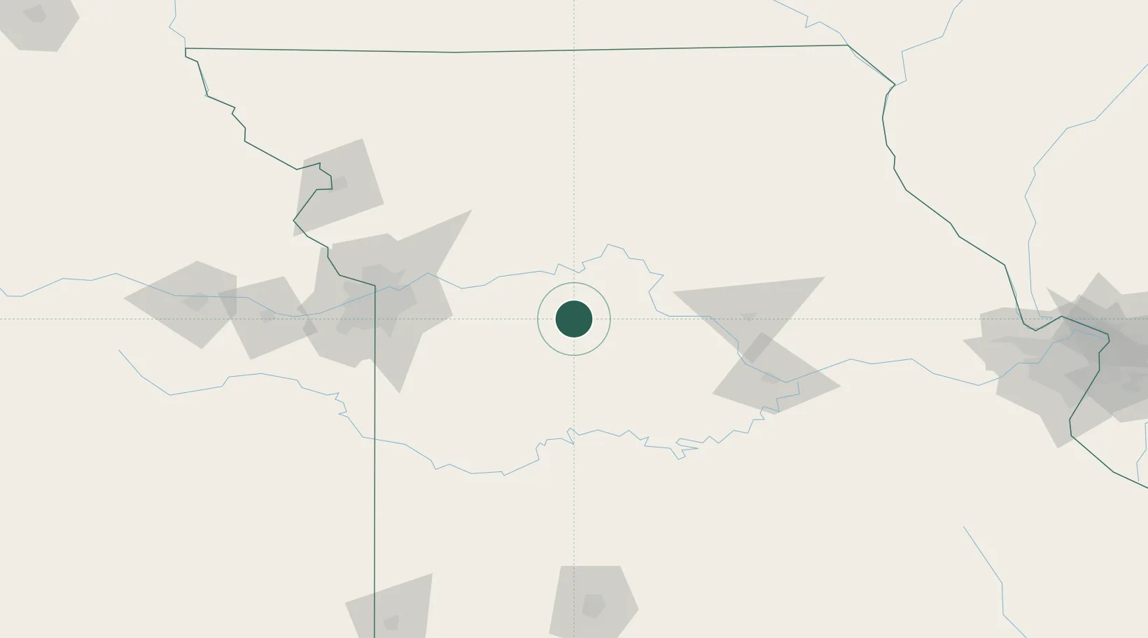
Sweet Springs
38.9500°, -93.4000°
1,467
Population
2
Transport functions
Transport Functions
Rail
Road
Hub Profile
Place type
Populated place
Region
Missouri
Population
1,467
Time zone
America/Chicago
Elevation
217 m
Location
Nearby Logistics Neighbours
Cities
- 1Knob Noster24 km
- 2Green Ridge37 km
- 3Columbus44 km
- 4Carrollton45 km
- 5Odessa48 km
Ports
- 1Port Of Memphis519 km
- 2Calumet Harbor587 km
- 3Indiana Harbor589 km
- 4Chicago589 km
- 5Gary594 km
Airports
Trade Zones
- 1FTZ No. 017 Kansas City127 km
- 2FTZ No. 015 Kansas City130 km
- 3FTZ No. 225 Springfield196 km
- 4FTZ No. 102 St. Louis County236 km
- 5FTZ No. 031 Granite City278 km
DatabookThe Record of Consolidated Knowledge
United States beyond logistics?