Transport Functions
Road
Multimodal
Hub Profile
Place type
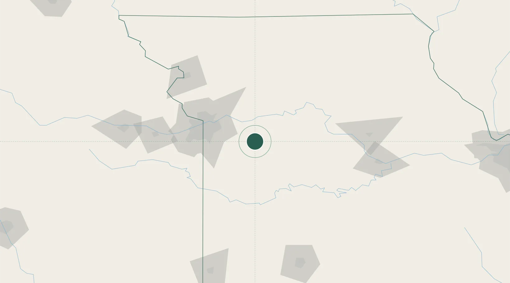
Populated place
Region
Missouri
Time zone
America/Chicago
Elevation
256 m
Location
Nearby Logistics Neighbours
Cities
- 1Pittsville7 km
- 2Odessa15 km
- 3Kingsville19 km
- 4Grain Valley31 km
- 5Knob Noster32 km
Ports
- 1Port Of Memphis537 km
- 2Calumet Harbor628 km
- 3Chicago630 km
- 4Indiana Harbor631 km
- 5Gary636 km
Airports
Trade Zones
DatabookThe Record of Consolidated Knowledge
United States beyond logistics?