UN/LOCODE hub · United States
USK99
Knob Noster
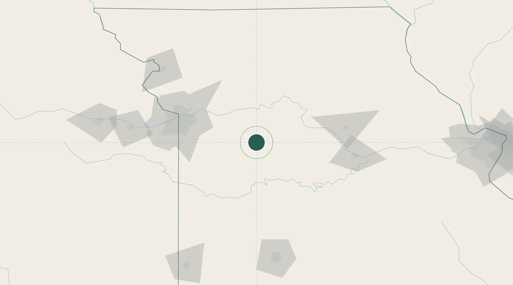
38.7667°, -93.5500°
2,762
Population
2
Transport functions
Transport Functions
Port
Multimodal
Hub Profile
Place type
Populated place
Region
Missouri
Population
2,762
Time zone
America/Chicago
Elevation
245 m
Location
Nearby Logistics Neighbours
Cities
- 1Green Ridge20 km
- 2Sweet Springs24 km
- 3Columbus32 km
- 4Pittsville39 km
- 5Odessa43 km
Ports
- 1Port Of Memphis510 km
- 2Calumet Harbor609 km
- 3Indiana Harbor611 km
- 4Chicago612 km
- 5Gary616 km
Airports
Trade Zones
- 1FTZ No. 015 Kansas City117 km
- 2FTZ No. 017 Kansas City119 km
- 3FTZ No. 225 Springfield178 km
- 4FTZ No. 102 St. Louis County247 km
- 5FTZ No. 133 Quad-Cities, Iowa Illinois283 km
DatabookThe Record of Consolidated Knowledge
United States beyond logistics?