Transport Functions
Road
Multimodal
Hub Profile
Place type
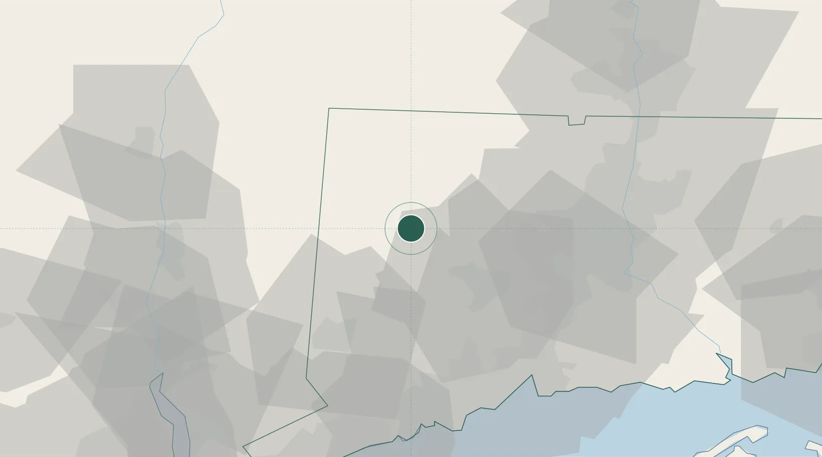
Populated place
Region
Connecticut
Population
735
Time zone
America/New_York
Elevation
281 m
Location
Nearby Logistics Neighbours
Cities
- 1Morris6 km
- 2Litchfield6 km
- 3Washington9 km
- 4Bethlehem10 km
- 5Goshen15 km
Ports
- 1Poughkeepsie58 km
- 2New Haven61 km
- 3Bridgeport61 km
- 4Kingston64 km
- 5Southport65 km
Airports
Trade Zones
- 1FTZ No. 162 New Haven53 km
- 2FTZ No. 071 Windsor Locks56 km
- 3FTZ No. 076 Bridgeport60 km
- 4FTZ No. 201 Holyoke72 km
- 5FTZ No. 052 Suffolk County89 km
DatabookThe Record of Consolidated Knowledge
United States beyond logistics?