UN/LOCODE hub · United States
USLAS
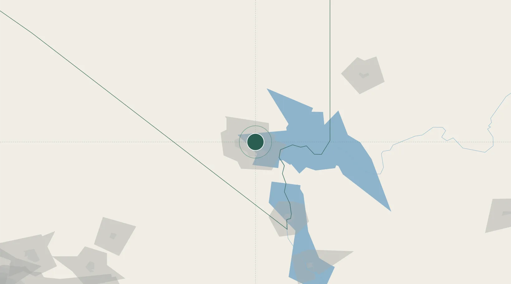
Las Vegas
36.1999°, -115.0632°
641,903
Population
2
Transport functions
Transport Functions
Airport
Multimodal
Hub Profile
Place type
Provincial seat
Region
Nevada
Population
641,903
Time zone
America/Los_Angeles
Elevation
610 m
Logistics facilities
4
Location
Nearby Logistics Neighbours
Cities
- 1North Las Vegas6 km
- 2Nellis Air Force Base8 km
- 3Jean52 km
- 4Overton, Clark66 km
- 5Primm73 km
Ports
- 1Newport Beach387 km
- 2Long Beach392 km
- 3Los Angeles398 km
- 4El Segundo398 km
- 5San Diego433 km
Airports
Trade Zones
- 1FTZ No. 170 Clark County97 km
- 2FTZ No. 089 Clark County97 km
- 3FTZ No. 243 Victorville276 km
- 4FTZ No. 236 Palm Springs295 km
- 5FTZ No. 244 Riverside County325 km
DatabookThe Record of Consolidated Knowledge
United States beyond logistics?