Transport Functions
Port
Rail
Road
Multimodal
Hub Profile
Place type
Populated place
Region
Indiana
Population
3,701
Time zone
America/New_York
Elevation
148 m
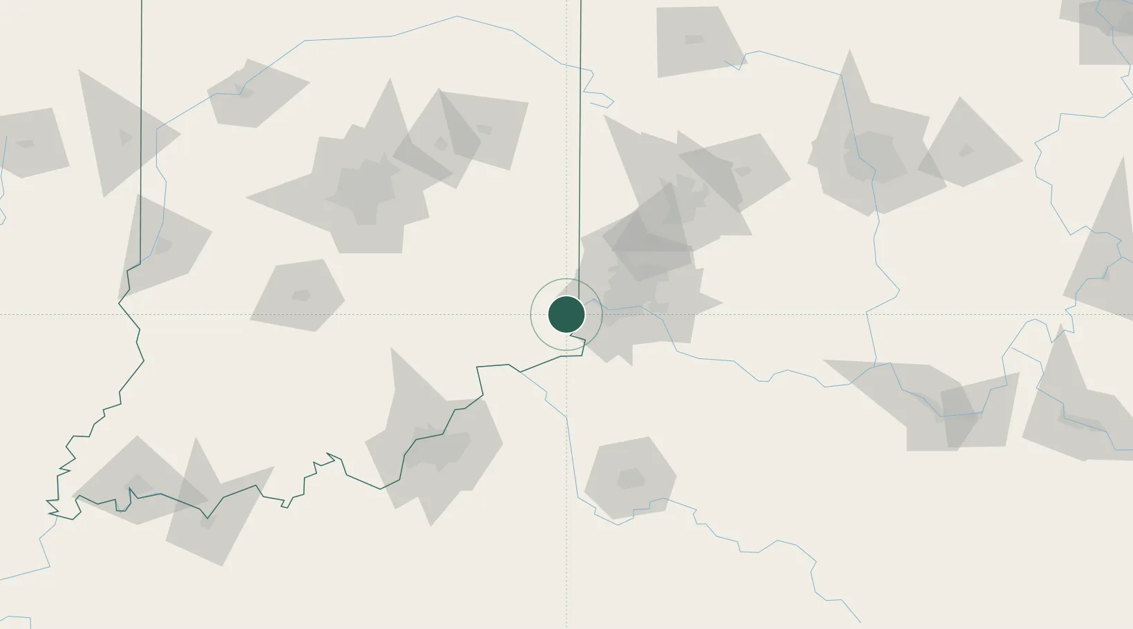
Location
Nearby Logistics Neighbours
Cities
- 1Burlington16 km
- 2North Bend17 km
- 3Milan20 km
- 4Harrison23 km
- 5West Harrison25 km
Ports
- 1Toledo319 km
- 2Port Clinton321 km
- 3Sandusky325 km
- 4Huron329 km
- 5Put In Bay339 km
Airports
Trade Zones
- 1FTZ No. 047 Boone County10 km
- 2FTZ No. 046 CIncinnati34 km
- 3FTZ No. 100 Dayton99 km
- 4FTZ No. 054 Clinton County105 km
- 5FTZ No. 029 Louisville117 km
DatabookThe Record of Consolidated Knowledge
United States beyond logistics?