UN/LOCODE hub · United States
USVRO

Verona

38.8167°, -84.6667°
1,455
Population
3
Transport functions

Transport Functions

Rail
Road
Multimodal
UN/LOCODE

Hub Profile

Place type
Populated place
GeoNames
Region
Kentucky
GeoNames
Population
1,455
GeoNames
Time zone
America/New_York
GeoNames
Elevation
271 m
GeoNames

Location

Location of USVRO
Natural Earth 10m (public domain) · Kentucky · USVRO · 38.82, -84.67GoogleOSMYandex

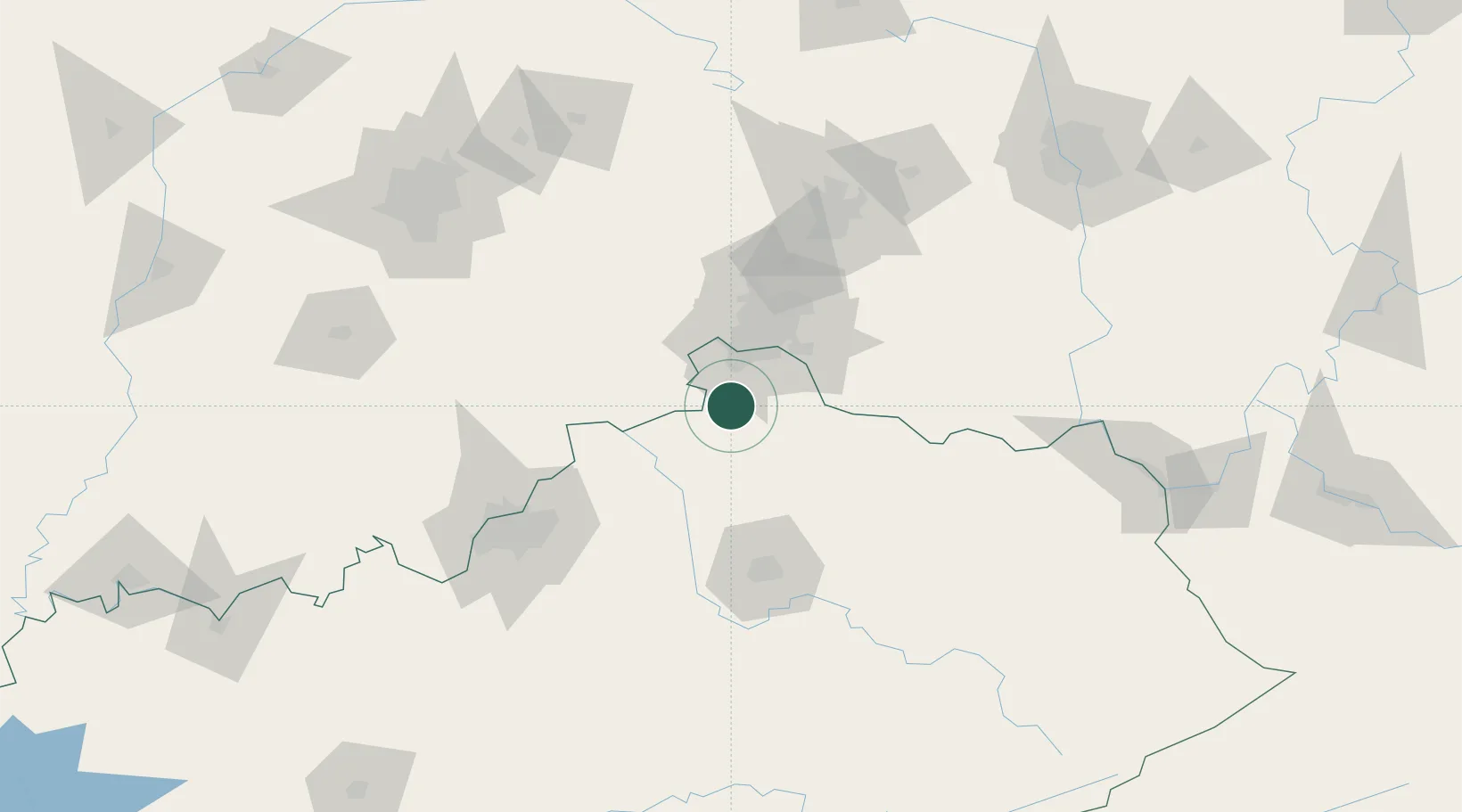
Nearby Logistics Neighbours

Cities
  1. 1Crittenden7 km
  2. 2Walton7 km
  3. 3Independence17 km
  4. 4Warsaw21 km
  5. 5Crestview Hills24 km
Nearest neighbours — logibook spatial index (haversine) over the source coordinates
Ports
  1. 1Port Clinton334 km
  2. 2Toledo336 km
  3. 3Sandusky337 km
  4. 4Huron339 km
  5. 5Vermilion351 km
Nearest neighbours — logibook spatial index (haversine) over the source coordinates
Airports
  1. 1Cincinnati Northern Kentucky International Airport26 km
  2. 2Cincinnati Municipal Airport Lunken Field38 km
  3. 3Blue Grass Airport87 km
  4. 4Wilmington Airpark102 km
  5. 5Bowman Field109 km
Nearest neighbours — logibook spatial index (haversine) over the source coordinates
Trade Zones
  1. 1FTZ No. 047 Boone County25 km
  2. 2FTZ No. 046 CIncinnati34 km
  3. 3FTZ No. 054 Clinton County102 km
  4. 4FTZ No. 100 Dayton114 km
  5. 5FTZ No. 029 Louisville116 km
Nearest neighbours — logibook spatial index (haversine) over the source coordinates
DatabookThe Record of Consolidated Knowledge
United States beyond logistics?
Browse databook

All Sources

LocationsUN/LOCODE
UN/LOCODE — free
LocationsGeoNames
CC BY 4.0
Portsthe NGA World Port Index
Public domain (US gov)
AirportsOurAirports
Public domain
Trade Zonesthe World Bank SEZ database
CC BY 4.0
Trade ZonesOpen Zone Map
CC BY
← United States locations