UN/LOCODE hub · United States
USGBN
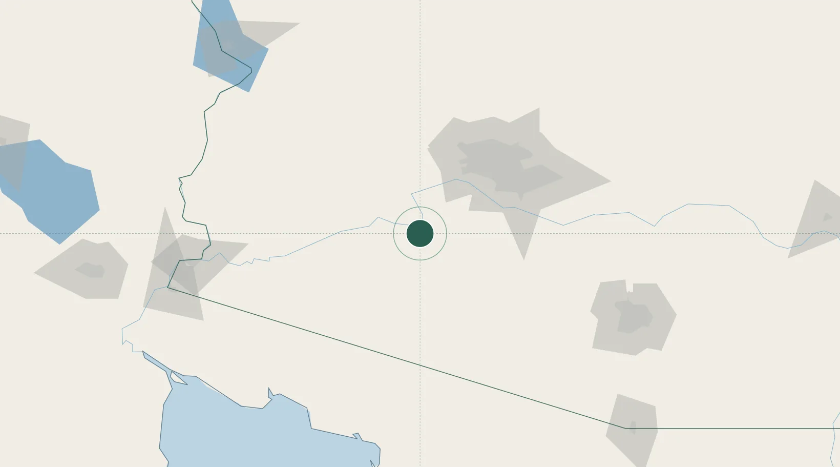
Gila Bend
32.9500°, -112.7167°
2,025
Population
3
Transport functions
Transport Functions
Rail
Road
Multimodal
Hub Profile
Place type
Populated place
Region
Arizona
Population
2,025
Time zone
America/Phoenix
Elevation
224 m
Location
Nearby Logistics Neighbours
Cities
- 1Maricopa64 km
- 2Litchfield Park69 km
- 3Stanfield72 km
- 4El Mirage83 km
- 5Paradise Valley96 km
Ports
- 1Ensenada387 km
- 2Rosarito415 km
- 3San Diego418 km
- 4Newport Beach487 km
- 5Long Beach516 km
Airports
Trade Zones
- 1FTZ No. 277 Western Maricopa County77 km
- 2FTZ No. 075 Phoenix81 km
- 3FTZ No. 221 Mesa97 km
- 4FTZ No. 219 Yuma179 km
- 5FTZ No. 174 Pima County182 km
DatabookThe Record of Consolidated Knowledge
United States beyond logistics?