UN/LOCODE hub · United States
USTFD
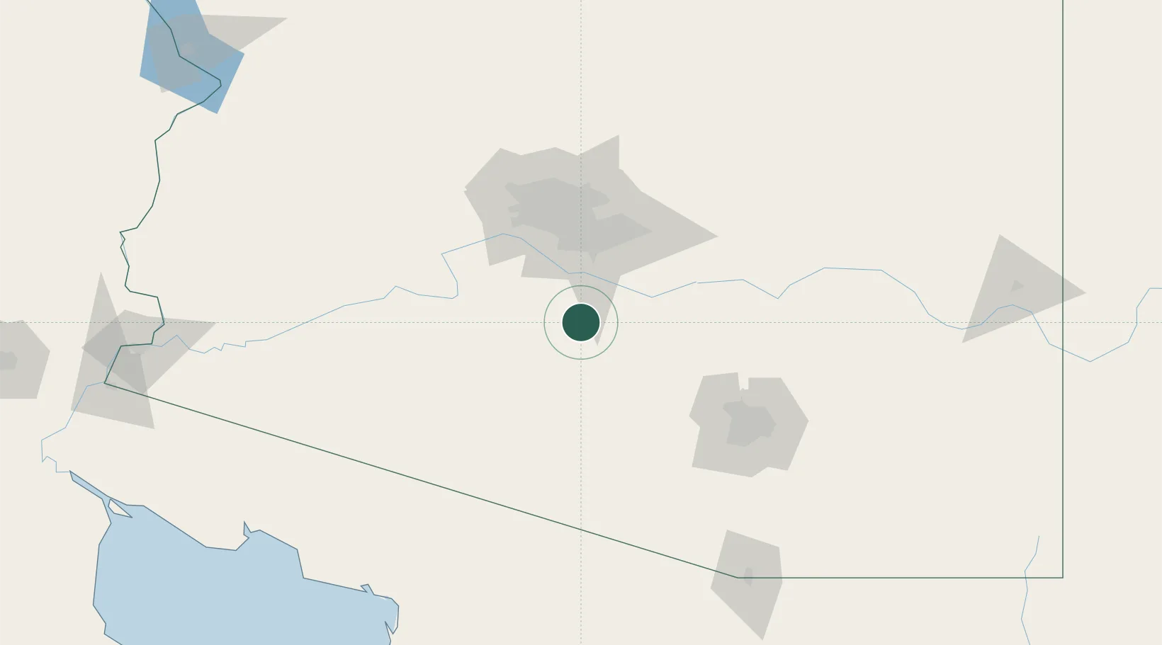
Stanfield
32.8667°, -111.9500°
740
Population
2
Transport functions
Transport Functions
Road
Multimodal
Hub Profile
Place type
Populated place
Region
Arizona
Population
740
Time zone
America/Phoenix
Elevation
397 m
Location
Nearby Logistics Neighbours
Ports
- 1Ensenada454 km
- 2Rosarito486 km
- 3San Diego489 km
- 4Guaymas559 km
- 5Newport Beach560 km
Airports
Trade Zones
- 1FTZ No. 221 Mesa62 km
- 2FTZ No. 075 Phoenix66 km
- 3FTZ No. 277 Western Maricopa County80 km
- 4FTZ No. 174 Pima County114 km
- 5FTZ No. 060 Nogales194 km
DatabookThe Record of Consolidated Knowledge
United States beyond logistics?