UN/LOCODE hub · United States
USEPC
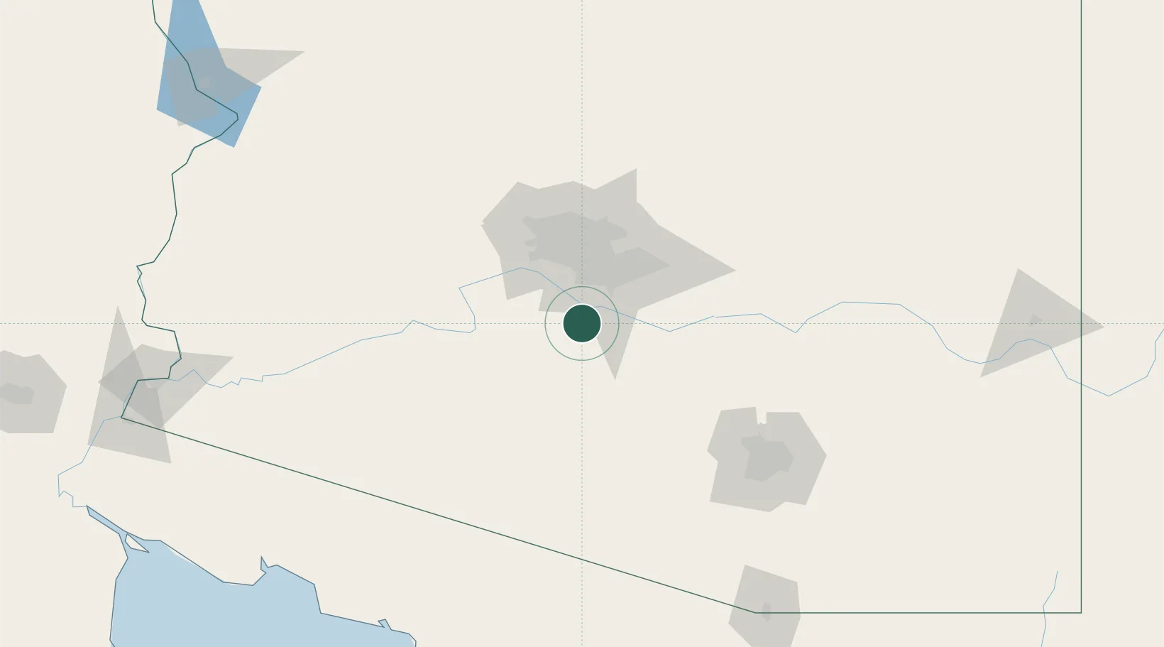
Maricopa
33.0667°, -112.0500°
48,602
Population
2
Transport functions
Transport Functions
Rail
Road
Hub Profile
Place type
Populated place
Region
Arizona
Population
48,602
Time zone
America/Phoenix
Elevation
358 m
Location
Nearby Logistics Neighbours
Cities
- 1Stanfield24 km
- 2Higley40 km
- 3Scottsdale51 km
- 4Coolidge51 km
- 5Magma52 km
Ports
- 1Ensenada450 km
- 2Rosarito479 km
- 3San Diego481 km
- 4Newport Beach547 km
- 5Long Beach575 km
Airports
Trade Zones
- 1FTZ No. 075 Phoenix43 km
- 2FTZ No. 221 Mesa44 km
- 3FTZ No. 277 Western Maricopa County55 km
- 4FTZ No. 174 Pima County135 km
- 5FTZ No. 060 Nogales218 km
DatabookThe Record of Consolidated Knowledge
United States beyond logistics?