UN/LOCODE hub · United States
USGB2
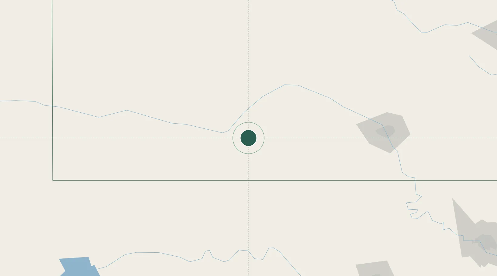
Greensburg
37.6000°, -99.2833°
798
Population
2
Transport functions
Transport Functions
Rail
Road
Hub Profile
Place type
Provincial seat
Region
Kansas
Population
798
Time zone
America/Chicago
Elevation
681 m
Location
Nearby Logistics Neighbours
Cities
- 1Coldwater37 km
- 2Lake City50 km
- 3Burdett70 km
- 4Medicine Lodge71 km
- 5Stafford73 km
Ports
- 1Port Of Memphis863 km
- 2Deer Park946 km
- 3Houston948 km
- 4Pasadena954 km
- 5Baytown959 km
Airports
- 1Dodge City Regional Airport63 km
- 2West Woodward Airport131 km
- 3Garden City Regional Airport132 km
- 4Hutchinson Municipal Airport135 km
- 5Hays Regional Airport138 km
Trade Zones
- 1FTZ No. 161 Sedgwick County135 km
- 2FTZ No. 106 Oklahoma City285 km
- 3FTZ No. 053 Rogers County336 km
- 4FTZ No. 252 Amarillo353 km
- 5FTZ No. 133 Quad-Cities, Iowa Illinois382 km
DatabookThe Record of Consolidated Knowledge
United States beyond logistics?