Transport Functions
Rail
Road
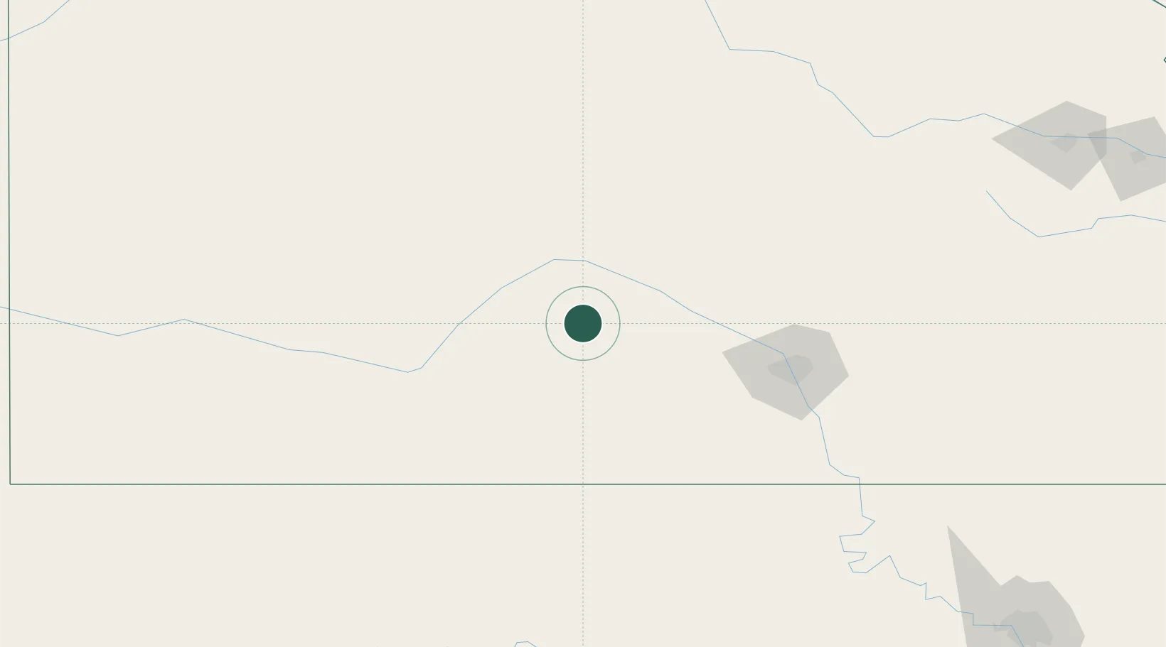
Hub Profile
Place type
Populated place
Region
Kansas
Population
986
Time zone
America/Chicago
Elevation
566 m
Location
Nearby Logistics Neighbours
Cities
- 1Kingman58 km
- 2South Hutchinson59 km
- 3Hoisington63 km
- 4Lake City71 km
- 5Haven72 km
Ports
- 1Port Of Memphis819 km
- 2Deer Park962 km
- 3Houston963 km
- 4Pasadena969 km
- 5Beaumont970 km
Airports
Trade Zones
DatabookThe Record of Consolidated Knowledge
United States beyond logistics?