UN/LOCODE hub · United States
USFPO
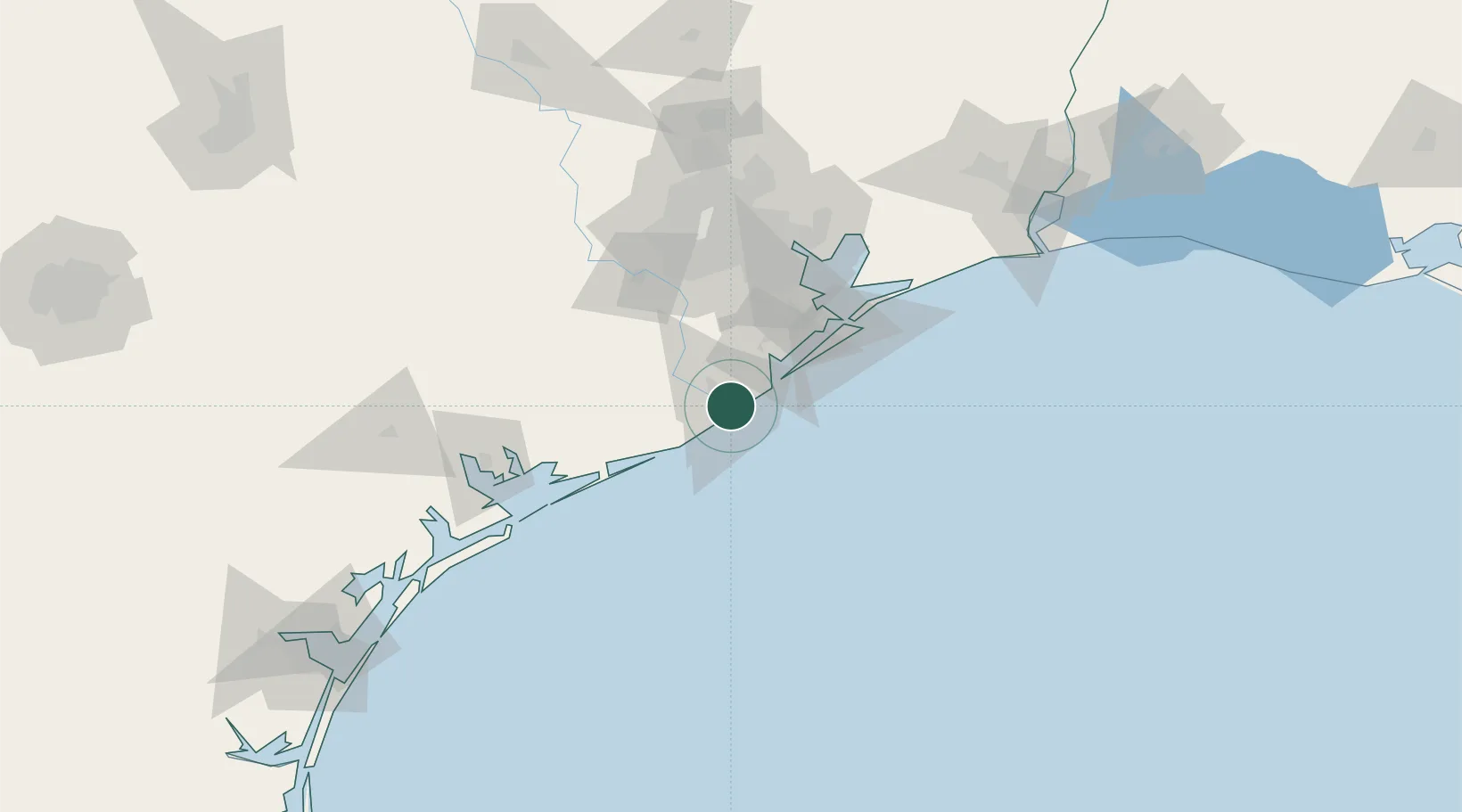
Freeport
28.9601°, -95.3552°
12,154
Population
2
Transport functions
1
Container terminals
Transport Functions
Port
Road
Hub Profile
Place type
Populated place
Region
Texas
Population
12,154
Time zone
America/Chicago
Elevation
1 m
Logistics facilities
6
Container terminals
1
Location
Nearby Logistics Neighbours
Cities
- 1Clute8 km
- 2Angleton24 km
- 3Danbury29 km
- 4West Columbia36 km
- 5Santa Fe52 km
Ports
- 1Texas City64 km
- 2Galveston68 km
- 3Pasadena85 km
- 4Deer Park88 km
- 5Houston88 km
Airports
Trade Zones
- 1FTZ No. 149 Freeport8 km
- 2FTZ No. 199 Texas City64 km
- 3FTZ No. 036 Galveston66 km
- 4FTZ No. 084 Harris County94 km
- 5FTZ No. 171 Liberty County139 km
DatabookThe Record of Consolidated Knowledge
United States beyond logistics?