Transport Functions
Rail
Road
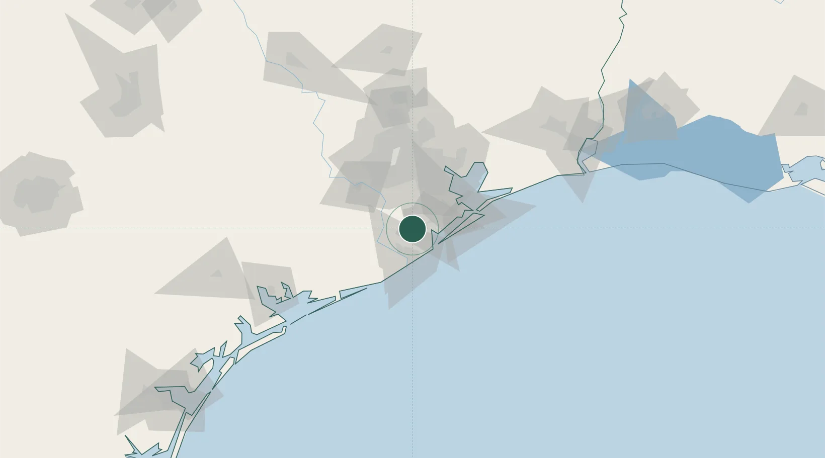
Hub Profile
Place type
Populated place
Region
Texas
Population
1,776
Time zone
America/Chicago
Elevation
7 m
Location
Nearby Logistics Neighbours
Cities
- 1Angleton11 km
- 2Clute23 km
- 3Santa Fe28 km
- 4Freeport29 km
- 5West Columbia32 km
Ports
- 1Freeport30 km
- 2Texas City45 km
- 3Galveston55 km
- 4Pasadena57 km
- 5Deer Park59 km
Airports
Trade Zones
- 1FTZ No. 149 Freeport32 km
- 2FTZ No. 199 Texas City44 km
- 3FTZ No. 036 Galveston53 km
- 4FTZ No. 084 Harris County65 km
- 5FTZ No. 171 Liberty County111 km
DatabookThe Record of Consolidated Knowledge
United States beyond logistics?