UN/LOCODE hub · United States
USAGX
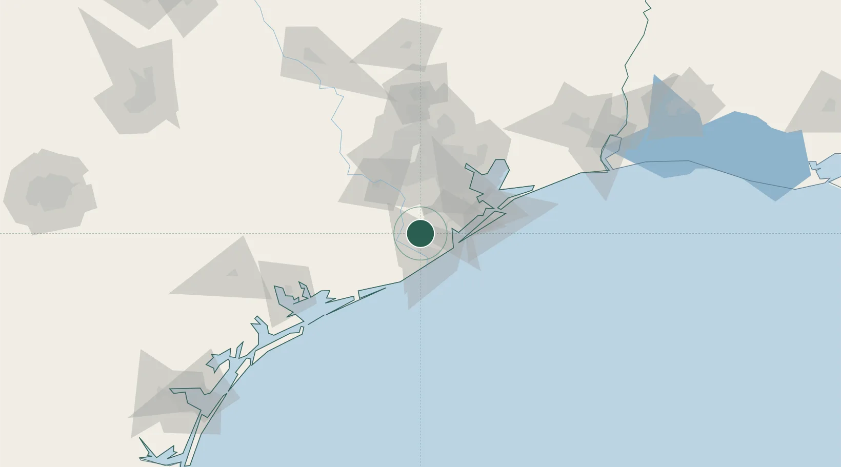
Angleton
29.1667°, -95.4333°
19,429
Population
2
Transport functions
Transport Functions
Rail
Road
Hub Profile
Place type
Provincial seat
Region
Texas
Population
19,429
Time zone
America/Chicago
Elevation
9 m
Location
Nearby Logistics Neighbours
Cities
- 1Danbury11 km
- 2Clute17 km
- 3West Columbia21 km
- 4Freeport24 km
- 5Arcola35 km
Ports
- 1Freeport26 km
- 2Texas City56 km
- 3Pasadena65 km
- 4Galveston65 km
- 5Deer Park66 km
Airports
Trade Zones
- 1FTZ No. 149 Freeport25 km
- 2FTZ No. 199 Texas City55 km
- 3FTZ No. 036 Galveston64 km
- 4FTZ No. 084 Harris County72 km
- 5FTZ No. 171 Liberty County119 km
DatabookThe Record of Consolidated Knowledge
United States beyond logistics?