UN/LOCODE hub · United States
USFNE
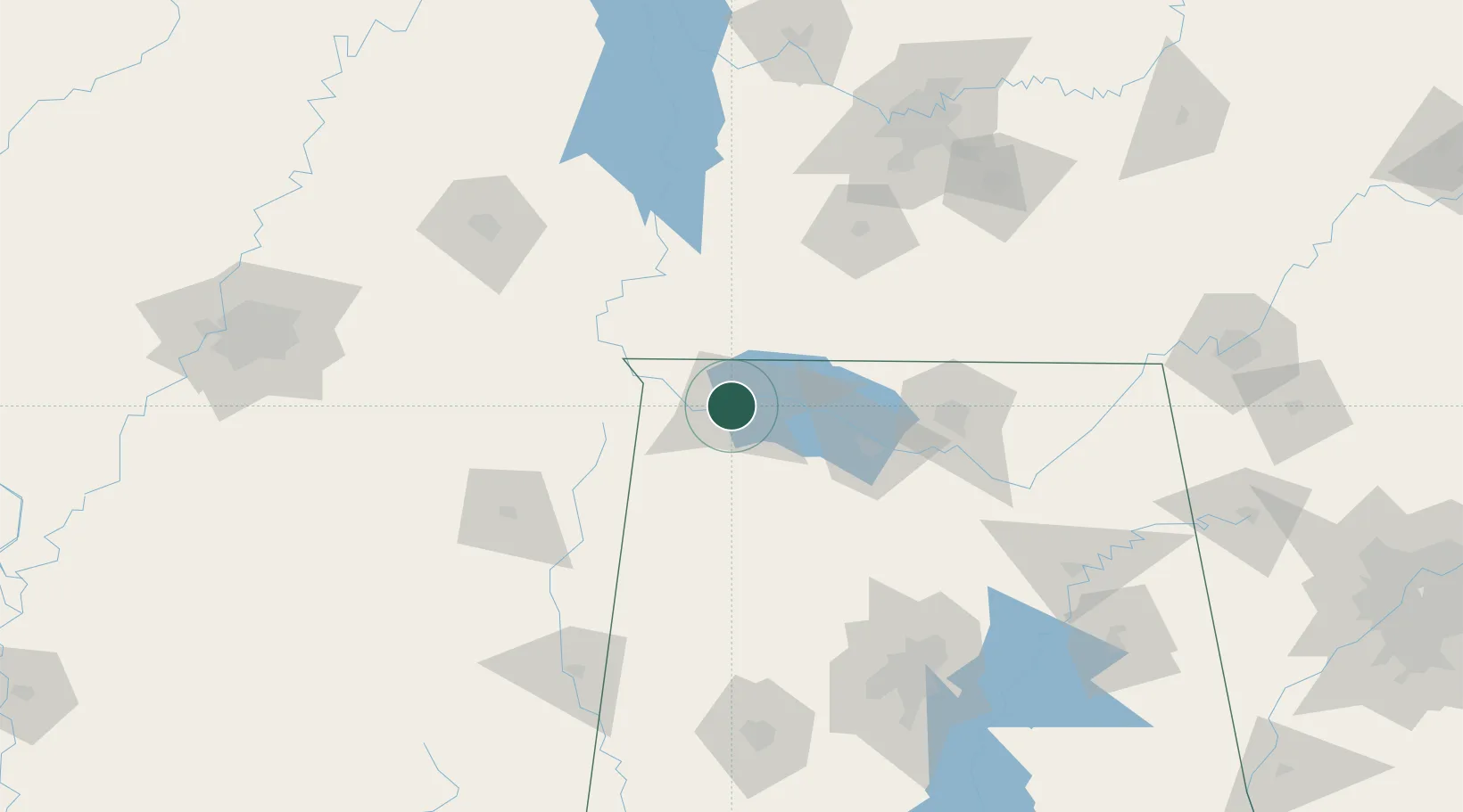
Florence
34.7833°, -87.6667°
40,026
Population
3
Transport functions
Transport Functions
Port
Rail
Road
Hub Profile
Place type
Provincial seat
Region
Alabama
Population
40,026
Time zone
America/Chicago
Elevation
167 m
Location
Nearby Logistics Neighbours
Cities
- 1Muscle Shoals6 km
- 2Barton21 km
- 3Priceville22 km
- 4Town Creek27 km
- 5Cherokee28 km
Ports
- 1Port Of Memphis230 km
- 2Mobile458 km
- 3Pensacola489 km
- 4Pascagoula500 km
- 5Biloxi502 km
Airports
Trade Zones
DatabookThe Record of Consolidated Knowledge
United States beyond logistics?