UN/LOCODE hub · United States
USTC2
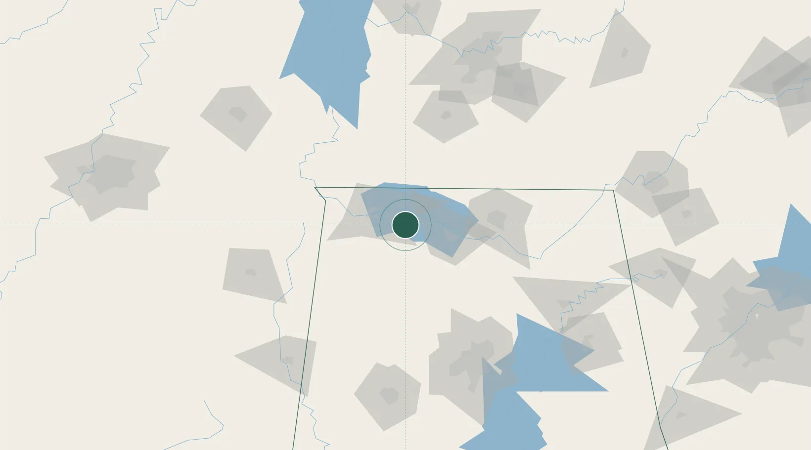
Town Creek
34.6833°, -87.4000°
1,065
Population
2
Transport functions
Transport Functions
Rail
Road
Hub Profile
Place type
Populated place
Region
Alabama
Population
1,065
Time zone
America/Chicago
Elevation
171 m
Location
Nearby Logistics Neighbours
Cities
- 1Hillsboro, Lawrence21 km
- 2Priceville25 km
- 3Muscle Shoals25 km
- 4Florence27 km
- 5Tanner40 km
Ports
- 1Port Of Memphis256 km
- 2Mobile450 km
- 3Pensacola477 km
- 4Pascagoula494 km
- 5Biloxi498 km
Airports
Trade Zones
DatabookThe Record of Consolidated Knowledge
United States beyond logistics?