UN/LOCODE hub · United States
USP43
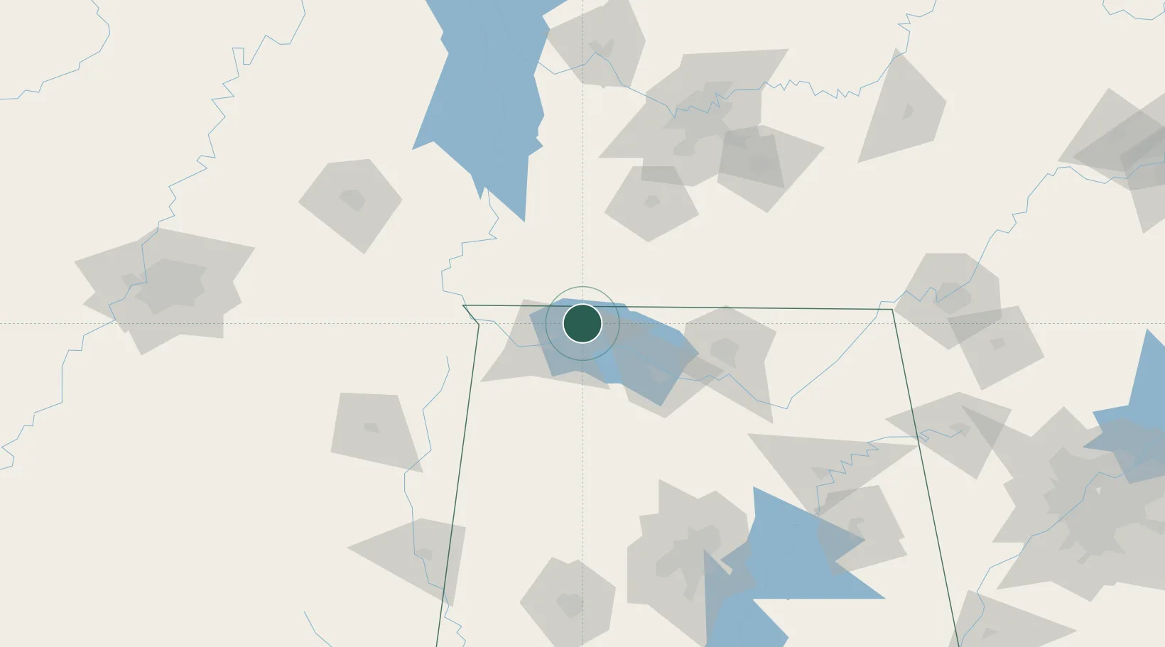
Priceville
34.9000°, -87.4667°
3,179
Population
5
Transport functions
Transport Functions
Port
Rail
Road
Multimodal
Postal
Hub Profile
Place type
Populated place
Region
Alabama
Population
3,179
Time zone
America/Chicago
Elevation
189 m
Location
Nearby Logistics Neighbours
Cities
- 1Florence22 km
- 2Town Creek25 km
- 3Muscle Shoals26 km
- 4Leoma32 km
- 5Collinwood38 km
Ports
- 1Port Of Memphis247 km
- 2Mobile473 km
- 3Pensacola501 km
- 4Pascagoula516 km
- 5Biloxi519 km
Airports
- 1Northwest Alabama Regional Airport22 km
- 2Huntsville International Airport70 km
- 3Redstone Army Air Field76 km
- 4Tupelo Regional Airport139 km
- 5Smyrna Airport150 km
Trade Zones
DatabookThe Record of Consolidated Knowledge
United States beyond logistics?