Channel & Berth Profile
Pilotage, Tugs & Services
Pilotage availableYES
Pilotage advisableYES
Potable waterYES
Diesel bunkersYES
Facilities & Capabilities
Container—
Ro-Ro—
Liquid bulk—
Dry bulk—
Oil terminal—
Break bulk—
Dry dock—
RepairsNO
BunkeringYES
Rail linkYES
Dangerous cargo—
ISPS security—
Harbour Specifications
Harbour size
Very Small
Harbour type
River (Natural)
Shelter
Excellent
Water body
North Pacific Ocean
Tidal range
1.2 m
Overhead limit
Yes
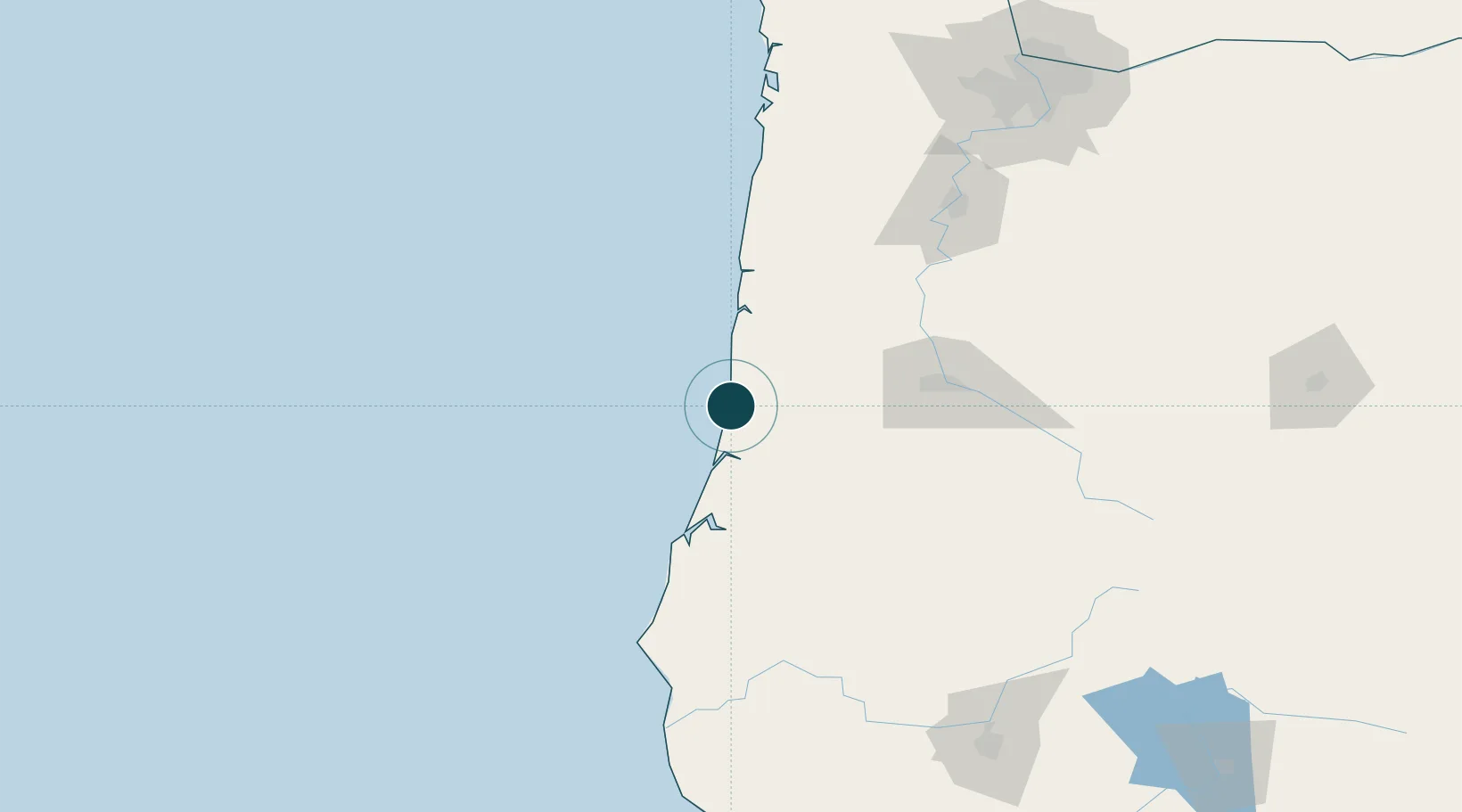
Location
Nearby Logistics Neighbours
Ports
- 1Gardiner28 km
- 2North Bend64 km
- 3Coos Bay67 km
- 4Toledo74 km
- 5Newport74 km
Airports
Trade Zones
- 1FTZ No. 132 Coos County67 km
- 2FTZ No. 255 Washington County185 km
- 3FTZ No. 045 Portland204 km
- 4FTZ No. 296 Vancouver217 km
- 5FTZ No. 120 Cowlitz County255 km
DatabookThe Record of Consolidated Knowledge
United States beyond logistics?