UN/LOCODE hub · United States
USFEV
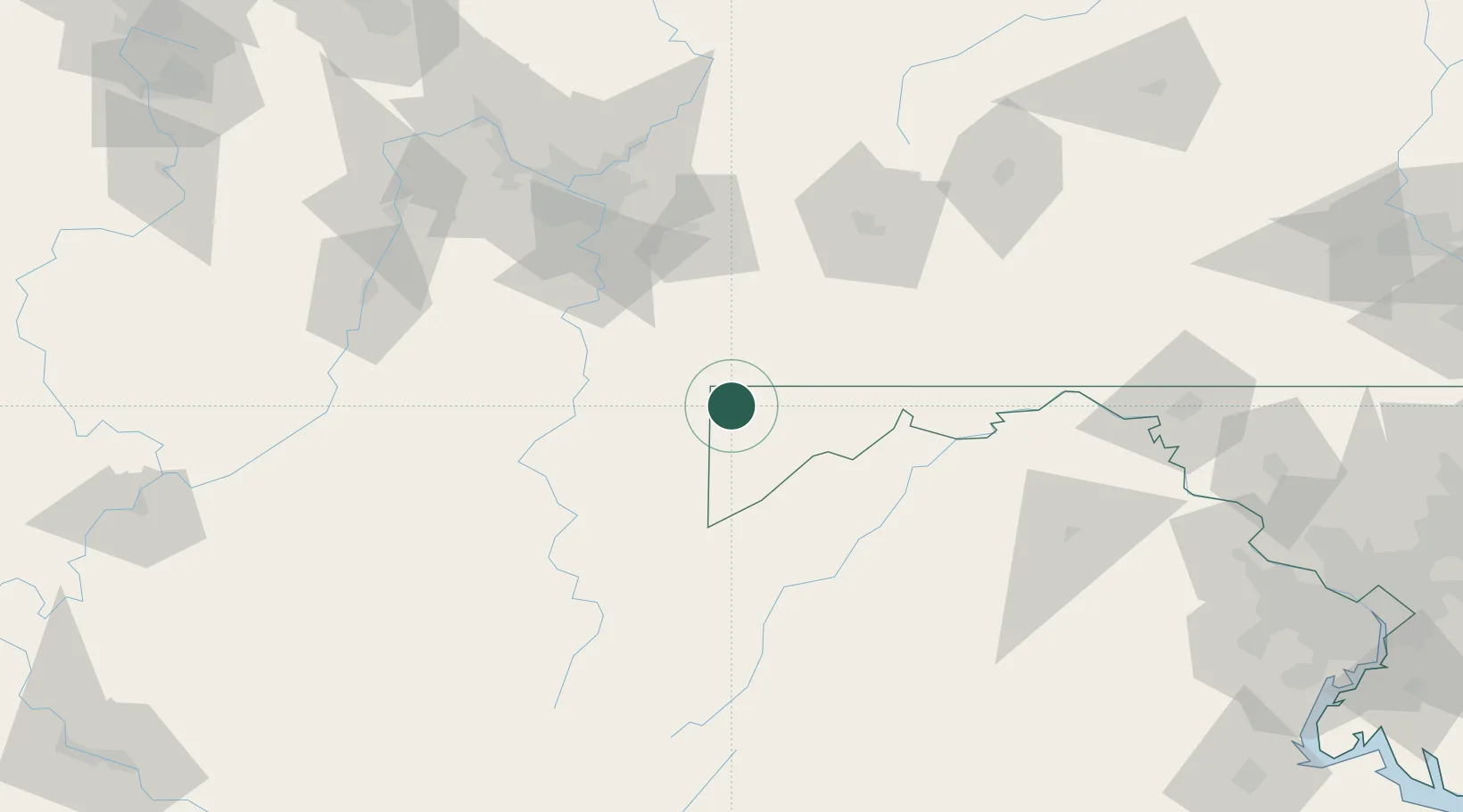
Friendsville
39.6500°, -79.4000°
476
Population
2
Transport functions
Transport Functions
Road
Multimodal
Hub Profile
Place type
Populated place
Region
Maryland
Population
476
Time zone
America/New_York
Elevation
457 m
Location
Nearby Logistics Neighbours
Cities
- 1Bruceton Mills20 km
- 2Grantsville22 km
- 3Ohiopyle25 km
- 4Deer Park27 km
- 5Masontown35 km
Ports
- 1Washington D.C.222 km
- 2Alexandria225 km
- 3Fredericksburg226 km
- 4Baltimore246 km
- 5Annapolis262 km
Airports
Trade Zones
DatabookThe Record of Consolidated Knowledge
United States beyond logistics?