Medium airport · United States

Allegheny County AirportKAGC
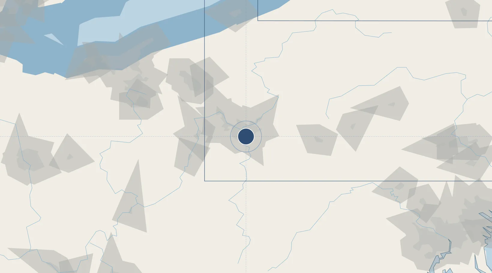
40.3544°, -79.9302°
6,501 ft
Longest runway
3
Runways
1,252 ft
Elevation

Runway & Layout

Allegheny County Airport runway & taxiway layout
Runway & taxiway layout — OpenStreetMap (ODbL) / OurAirports

Radio Frequencies

ATIS
120.55 MHz
TWR
121.1 MHz
GND
121.7 MHz
A/D
119.35 MHz
PITTSBURGH APP/DEP
RDO
122.2 MHz
ALTOONA RDO
UNIC
122.95 MHz
UNICOM
OurAirports

Navaids

MKP NDB Mckeesport 287 kHz
OurAirports

Runways · 3

RunwayDimensions SurfaceTrue headingLit
10/28 6,501 × 150ft Concrete 090°
13/31 3,825 × 100ft Concrete 120°
H1/H1 47 × 45ft CONC-G
OurAirports

Airport Specifications

IATA code
AGC
OurAirports
ICAO code
KAGC
OurAirports
Airport class
Medium airport
OurAirports
Scheduled service
No
OurAirports
Runway surface
Concrete
OurAirports
Served city
Pittsburgh
OurAirports

Location

Location of KAGC
Natural Earth 10m (public domain) · Pennsylvania · KAGC · 40.35, -79.93GoogleOSMYandex

Nearby Logistics Neighbours

Airports
  1. 1Pittsburgh International Airport30 km
  2. 2Arnold Palmer Regional Airport45 km
  3. 3Beaver County Airport61 km
  4. 4Wheeling Ohio County Airport64 km
  5. 5Morgantown Municipal Airport Walter L. (Bill) Hart Field79 km
Nearest neighbours — logibook spatial index (haversine) over the source coordinates
Cities
  1. 1West Homestead4 km
  2. 2Homestead6 km
  3. 3Duquesne7 km
  4. 4Jefferson Hills8 km
  5. 5Liberty8 km
Nearest neighbours — logibook spatial index (haversine) over the source coordinates
Ports
  1. 1Conneaut187 km
  2. 2Ashtabula187 km
  3. 3Fairport195 km
  4. 4Cleveland197 km
  5. 5Erie200 km
Nearest neighbours — logibook spatial index (haversine) over the source coordinates
Trade Zones
  1. 1FTZ No. 033 Pittsburgh13 km
  2. 2FTZ No. 295 Central Pennsylvania132 km
  3. 3FTZ No. 254 Jefferson County156 km
  4. 4FTZ No. 181 Akron Canton167 km
  5. 5FTZ No. 240 Martinsburg192 km
Nearest neighbours — logibook spatial index (haversine) over the source coordinates
DatabookThe Record of Consolidated Knowledge
United States beyond logistics?
Browse databook

All Sources

AirportsOurAirports
Public domain
Portsthe NGA World Port Index
Public domain (US gov)
LocationsUN/LOCODE
UN/LOCODE — free
Trade Zonesthe World Bank SEZ database
CC BY 4.0
Trade ZonesOpen Zone Map
CC BY
InfrastructureOpenStreetMap
ODbL 1.0
← United States airports