UN/LOCODE hub · United States
USBCM
Bruceton Mills
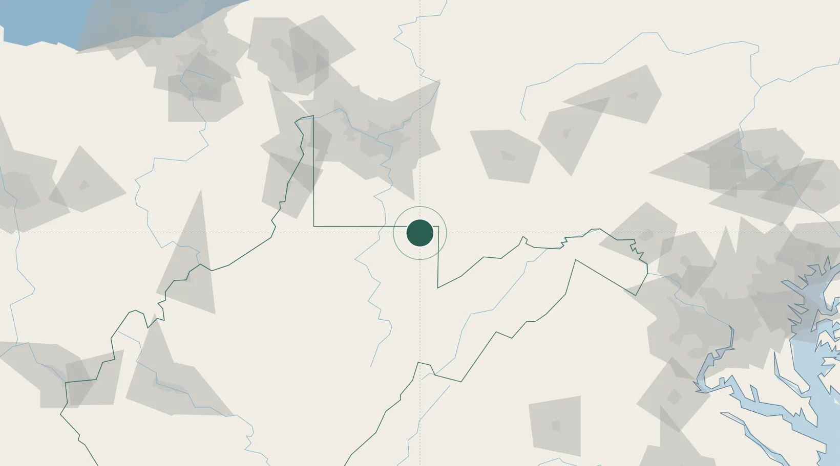
39.6667°, -79.6333°
87
Population
2
Transport functions
Transport Functions
Port
Road
Hub Profile
Place type
Populated place
Region
West Virginia
Population
87
Time zone
America/New_York
Elevation
467 m
Location
Nearby Logistics Neighbours
Cities
- 1Masontown18 km
- 2Friendsville20 km
- 3Smithfield22 km
- 4Reedsville22 km
- 5Point Marion23 km
Ports
- 1Washington D.C.241 km
- 2Fredericksburg242 km
- 3Alexandria244 km
- 4Baltimore266 km
- 5Ashtabula267 km
Airports
Trade Zones
DatabookThe Record of Consolidated Knowledge
United States beyond logistics?