Transport Functions
Rail
Road
Multimodal
Hub Profile
Place type
Populated place
Region
Pennsylvania
Population
57
Time zone
America/New_York
Elevation
371 m
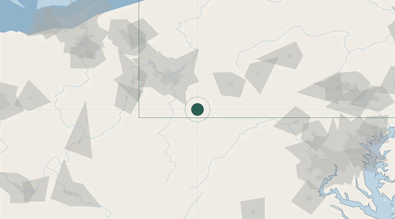
Location
Nearby Logistics Neighbours
Cities
- 1Morgan15 km
- 2Mount Braddock16 km
- 3Lemont Furnace17 km
- 4Clinton20 km
- 5Friendsville25 km
Ports
- 1Washington D.C.238 km
- 2Alexandria242 km
- 3Fredericksburg247 km
- 4Conneaut250 km
- 5Ashtabula252 km
Airports
Trade Zones
- 1FTZ No. 033 Pittsburgh79 km
- 2FTZ No. 240 Martinsburg135 km
- 3FTZ No. 295 Central Pennsylvania153 km
- 4FTZ No. 254 Jefferson County185 km
- 5FTZ No. 185 Culpeper County195 km
DatabookThe Record of Consolidated Knowledge
United States beyond logistics?