Transport Functions
Road
Multimodal
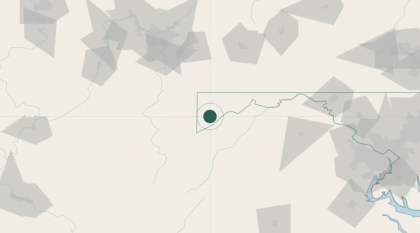
Hub Profile
Place type
Populated place
Region
Maryland
Population
381
Time zone
America/New_York
Elevation
765 m
Location
Nearby Logistics Neighbours
Cities
- 1Bayard17 km
- 2Friendsville27 km
- 3Keyser30 km
- 4Grantsville33 km
- 5Thomas34 km
Ports
- 1Fredericksburg204 km
- 2Washington D.C.206 km
- 3Alexandria209 km
- 4Baltimore236 km
- 5Annapolis249 km
Airports
Trade Zones
DatabookThe Record of Consolidated Knowledge
United States beyond logistics?