Medium airport · United States

Arnold Palmer Regional AirportKLBE
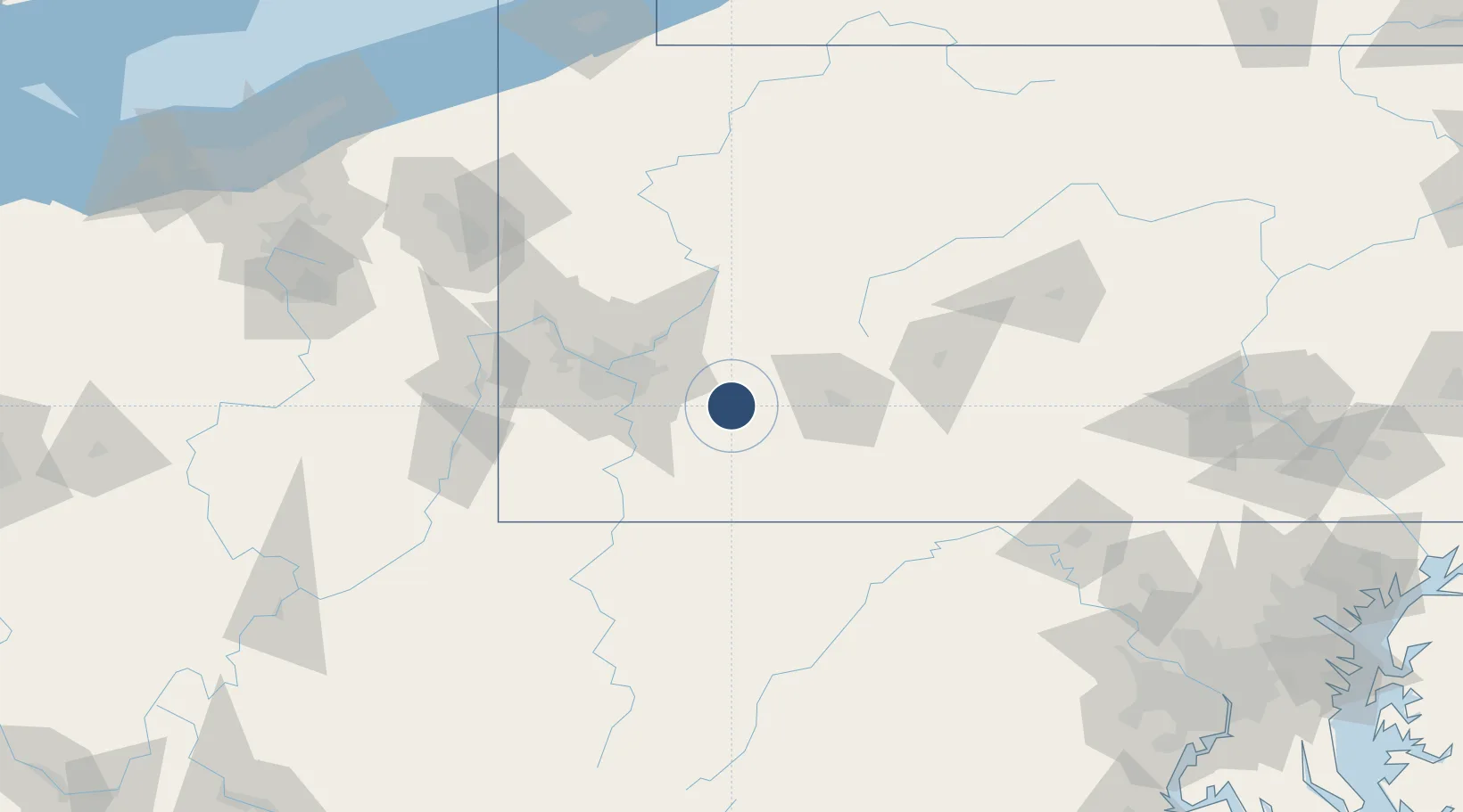
40.2759°, -79.4048°
8,222 ft
Longest runway
1
Runways
1,199 ft
Elevation

Runway & Layout

Arnold Palmer Regional Airport runway & taxiway layout
Runway & taxiway layout — OpenStreetMap (ODbL) / OurAirports

Radio Frequencies

ATIS
118.375 MHz
AWOS
118.375 MHz
AWOS 3
TWR
125 MHz
GND
121.8 MHz
CTAF
125 MHz
CNTR
124.4 MHz
CLEVELAND CNTR
OurAirports

Navaids

BHU NDB Benje 382 kHz
OurAirports

Runways · 1

RunwayDimensions SurfaceTrue headingLit
06/24 8,222 × 150ft Asphalt 046°
OurAirports

Airport Specifications

IATA code
LBE
OurAirports
ICAO code
KLBE
OurAirports
Airport class
Medium airport
OurAirports
Scheduled service
Yes
OurAirports
Runway surface
Asphalt
OurAirports
Served city
Latrobe
OurAirports

Location

Location of KLBE
Natural Earth 10m (public domain) · Pennsylvania · KLBE · 40.28, -79.40GoogleOSMYandex

Nearby Logistics Neighbours

Airports
  1. 1Allegheny County Airport45 km
  2. 2John Murtha Johnstown Cambria County Airport49 km
  3. 3Pittsburgh International Airport74 km
  4. 4Morgantown Municipal Airport Walter L. (Bill) Hart Field83 km
  5. 5Altoona Blair County Airport92 km
Nearest neighbours — logibook spatial index (haversine) over the source coordinates
Cities
  1. 1Derry11 km
  2. 2Delmont20 km
  3. 3Hunker20 km
  4. 4Ruffs Dale22 km
  5. 5Manor23 km
Nearest neighbours — logibook spatial index (haversine) over the source coordinates
Ports
  1. 1Conneaut211 km
  2. 2Ashtabula215 km
  3. 3Erie216 km
  4. 4Fairport230 km
  5. 5Cleveland237 km
Nearest neighbours — logibook spatial index (haversine) over the source coordinates
Trade Zones
  1. 1FTZ No. 033 Pittsburgh57 km
  2. 2FTZ No. 295 Central Pennsylvania109 km
  3. 3FTZ No. 254 Jefferson County140 km
  4. 4FTZ No. 240 Martinsburg150 km
  5. 5FTZ No. 181 Akron Canton211 km
Nearest neighbours — logibook spatial index (haversine) over the source coordinates
DatabookThe Record of Consolidated Knowledge
United States beyond logistics?
Browse databook

All Sources

AirportsOurAirports
Public domain
Portsthe NGA World Port Index
Public domain (US gov)
LocationsUN/LOCODE
UN/LOCODE — free
Trade Zonesthe World Bank SEZ database
CC BY 4.0
Trade ZonesOpen Zone Map
CC BY
InfrastructureOpenStreetMap
ODbL 1.0
← United States airports