UN/LOCODE hub · United States
USGV8
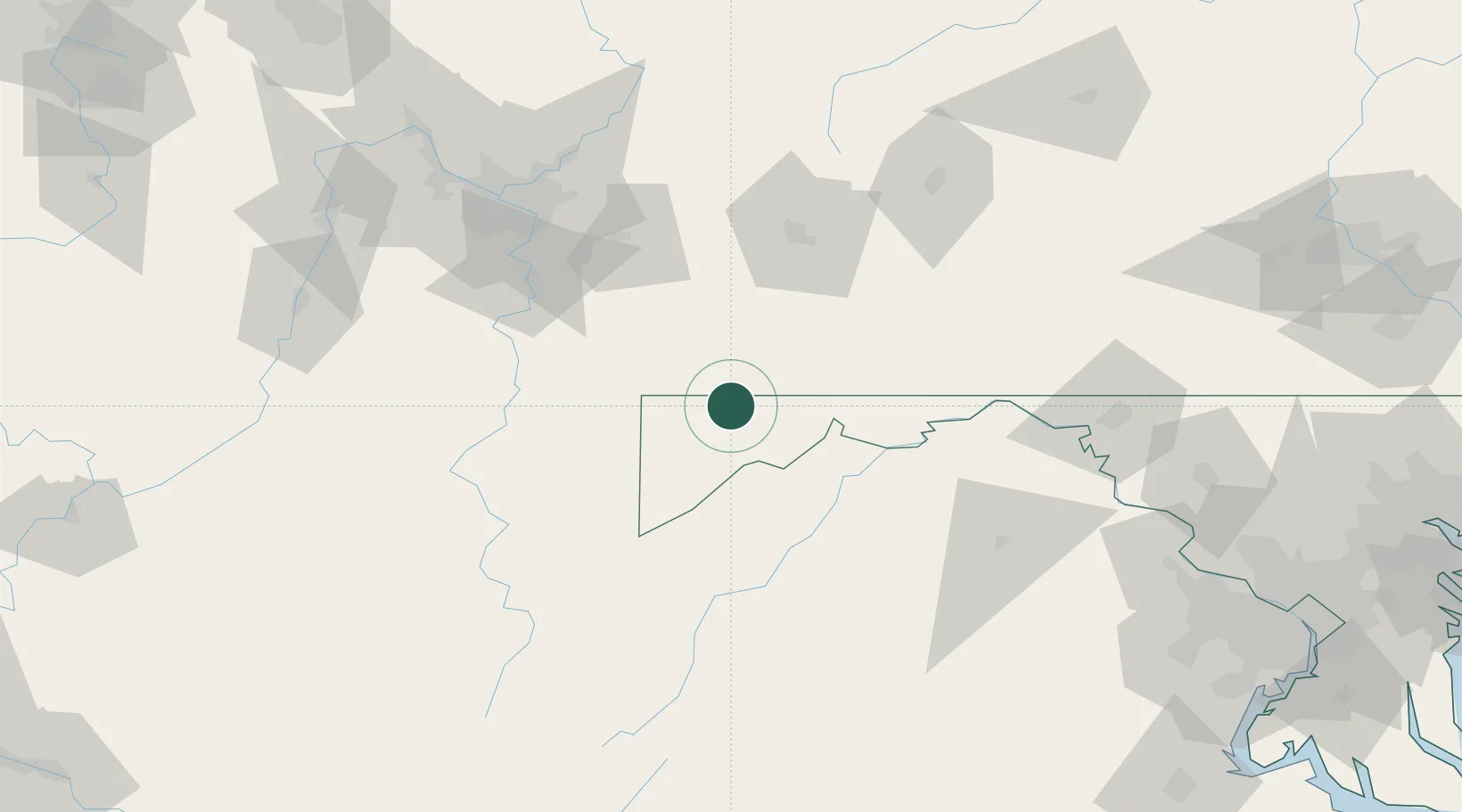
Grantsville
39.6833°, -79.1500°
765
Population
1
Transport functions
Transport Functions
Multimodal
Hub Profile
Place type
Populated place
Region
Maryland
Population
765
Time zone
America/New_York
Elevation
702 m
Location
Nearby Logistics Neighbours
Cities
- 1Meyersdale17 km
- 2Frostburg20 km
- 3Friendsville22 km
- 4Mount Savage24 km
- 5Keyser32 km
Ports
- 1Washington D.C.204 km
- 2Alexandria207 km
- 3Fredericksburg213 km
- 4Baltimore225 km
- 5Annapolis242 km
Airports
Trade Zones
DatabookThe Record of Consolidated Knowledge
United States beyond logistics?