Medium airport · United States

John Murtha Johnstown Cambria County AirportKJST
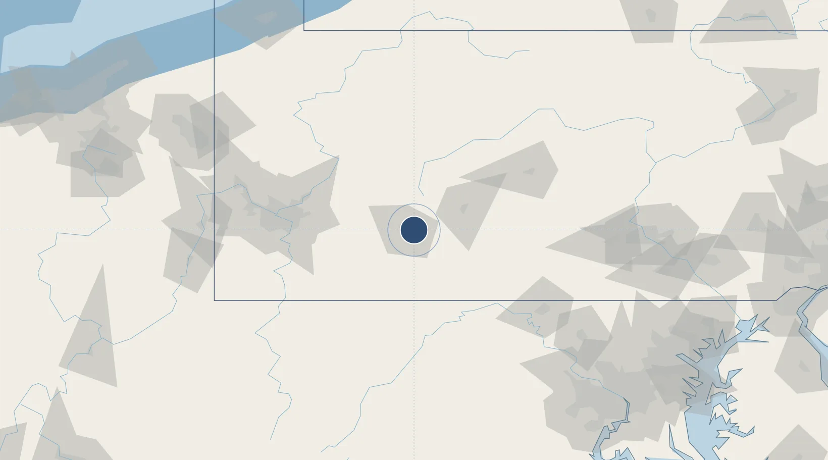
40.3161°, -78.8339°
7,004 ft
Longest runway
2
Runways
2,284 ft
Elevation

Runway & Layout

John Murtha Johnstown Cambria County Airport runway & taxiway layout
Runway & taxiway layout — OpenStreetMap (ODbL) / OurAirports

Radio Frequencies

ATIS
118.325 MHz
TWR
125.75 MHz
GND
121.6 MHz
CTAF
125.75 MHz
CNTR
121.2 MHz
CLEVELAND CNTR
OPS
36.5 MHz
KEYSTONE OPS ARNG
RDO
122.65 MHz
ALTOONA RDO
UNIC
122.95 MHz
UNICOM
OurAirports

Navaids

JST VORTAC Johnstown 113.00 MHz
OurAirports

Runways · 2

RunwayDimensions SurfaceTrue headingLit
15/33 7,004 × 150ft Asphalt 144°
05/23 4,387 × 100ft Asphalt 039°
OurAirports

Airport Specifications

IATA code
JST
OurAirports
ICAO code
KJST
OurAirports
Airport class
Medium airport
OurAirports
Scheduled service
Yes
OurAirports
Runway surface
Asphalt
OurAirports
Served city
Johnstown
OurAirports

Location

Location of KJST
Natural Earth 10m (public domain) · Pennsylvania · KJST · 40.32, -78.83GoogleOSMYandex

Nearby Logistics Neighbours

Airports
  1. 1Altoona Blair County Airport44 km
  2. 2Arnold Palmer Regional Airport49 km
  3. 3Allegheny County Airport93 km
  4. 4DuBois Regional Airport96 km
  5. 5State College Regional Airport102 km
Nearest neighbours — logibook spatial index (haversine) over the source coordinates
Cities
  1. 1Elton5 km
  2. 2Belmont6 km
  3. 3Hollsopple15 km
  4. 4New Florence22 km
  5. 5Stoystown26 km
Nearest neighbours — logibook spatial index (haversine) over the source coordinates
Ports
  1. 1Washington D.C.223 km
  2. 2Baltimore225 km
  3. 3Alexandria229 km
  4. 4Erie230 km
  5. 5Conneaut233 km
Nearest neighbours — logibook spatial index (haversine) over the source coordinates
Trade Zones
  1. 1FTZ No. 295 Central Pennsylvania89 km
  2. 2FTZ No. 033 Pittsburgh104 km
  3. 3FTZ No. 240 Martinsburg119 km
  4. 4FTZ No. 254 Jefferson County125 km
  5. 5FTZ No. 137 Washington Dulles International Airport192 km
Nearest neighbours — logibook spatial index (haversine) over the source coordinates
DatabookThe Record of Consolidated Knowledge
United States beyond logistics?
Browse databook

All Sources

AirportsOurAirports
Public domain
Portsthe NGA World Port Index
Public domain (US gov)
LocationsUN/LOCODE
UN/LOCODE — free
Trade Zonesthe World Bank SEZ database
CC BY 4.0
Trade ZonesOpen Zone Map
CC BY
InfrastructureOpenStreetMap
ODbL 1.0
← United States airports