UN/LOCODE hub · United States
USEVV
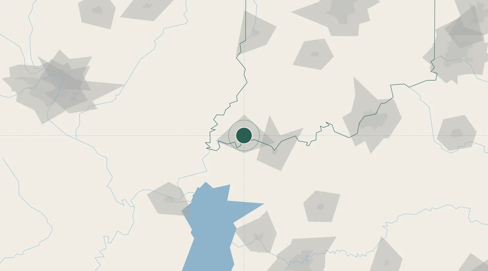
Evansville
38.0011°, -87.5563°
119,943
Population
4
Transport functions
Transport Functions
Port
Rail
Road
Airport
Hub Profile
Place type
Provincial seat
Region
Indiana
Population
119,943
Time zone
America/Chicago
Elevation
118 m
Logistics facilities
4
Location
Nearby Logistics Neighbours
Cities
- 1Wadesville23 km
- 2Fort Branch28 km
- 3Owensville32 km
- 4Robards38 km
- 5Griffin39 km
Ports
- 1Port Of Memphis401 km
- 2Gary403 km
- 3Indiana Harbor408 km
- 4Calumet Harbor415 km
- 5Michigan City419 km
Airports
Trade Zones
- 1FTZ No. 177 Evansville5 km
- 2FTZ No. 294 Western Kentucky138 km
- 3FTZ No. 029 Louisville157 km
- 4FTZ No. 078 Nashville206 km
- 5FTZ No. 072 Indianapolis220 km
DatabookThe Record of Consolidated Knowledge
United States beyond logistics?