Transport Functions
Rail
Road
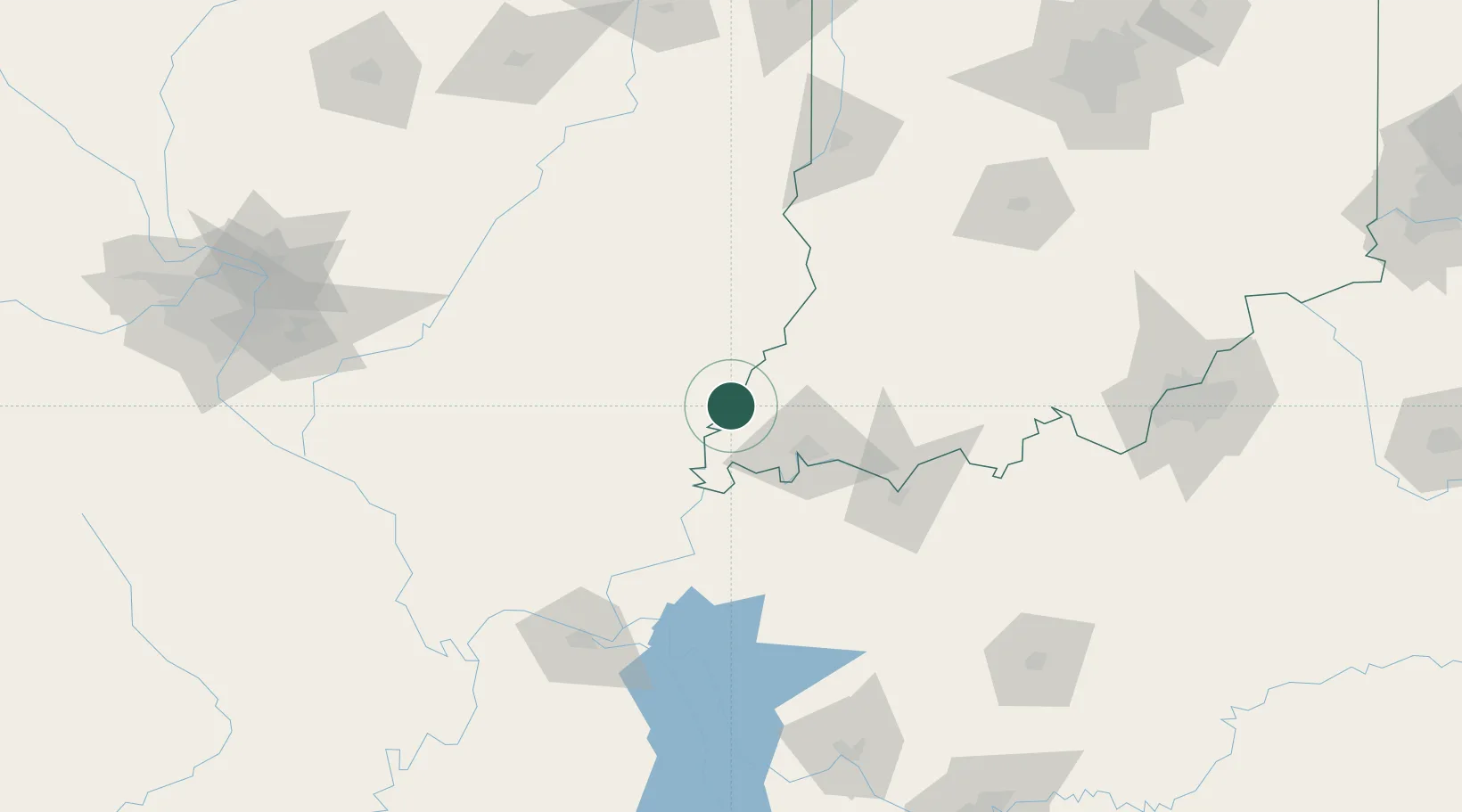
Hub Profile
Place type
Populated place
Region
Indiana
Population
167
Time zone
America/Chicago
Elevation
118 m
Location
Nearby Logistics Neighbours
Cities
- 1Grayville9 km
- 2Wadesville16 km
- 3Owensville22 km
- 4Mount Carmel27 km
- 5Fort Branch31 km
Ports
- 1Gary383 km
- 2Indiana Harbor388 km
- 3Calumet Harbor394 km
- 4Port Of Memphis402 km
- 5Michigan City402 km
Airports
Trade Zones
- 1FTZ No. 177 Evansville35 km
- 2FTZ No. 294 Western Kentucky139 km
- 3FTZ No. 029 Louisville185 km
- 4FTZ No. 031 Granite City208 km
- 5FTZ No. 245 Decatur209 km
DatabookThe Record of Consolidated Knowledge
United States beyond logistics?