UN/LOCODE hub · United States
USOWJ
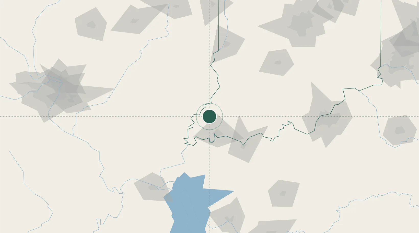
Owensville
38.2667°, -87.6833°
1,285
Population
2
Transport functions
Transport Functions
Rail
Road
Hub Profile
Place type
Populated place
Region
Indiana
Population
1,285
Time zone
America/Chicago
Elevation
155 m
Location
Nearby Logistics Neighbours
Cities
- 1Fort Branch10 km
- 2Mount Carmel18 km
- 3Wadesville21 km
- 4Griffin22 km
- 5Grayville28 km
Ports
- 1Gary374 km
- 2Indiana Harbor379 km
- 3Calumet Harbor386 km
- 4Michigan City391 km
- 5Chicago402 km
Airports
Trade Zones
- 1FTZ No. 177 Evansville31 km
- 2FTZ No. 294 Western Kentucky155 km
- 3FTZ No. 029 Louisville165 km
- 4FTZ No. 072 Indianapolis201 km
- 5FTZ No. 245 Decatur213 km
DatabookThe Record of Consolidated Knowledge
United States beyond logistics?