UN/LOCODE hub · United States
USFTH
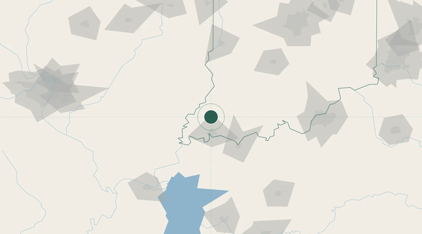
Fort Branch
38.2500°, -87.5667°
2,809
Population
3
Transport functions
Transport Functions
Rail
Road
Multimodal
Hub Profile
Place type
Populated place
Region
Indiana
Population
2,809
Time zone
America/Chicago
Elevation
137 m
Location
Nearby Logistics Neighbours
Cities
- 1Owensville10 km
- 2Oakland City21 km
- 3Wadesville25 km
- 4Mount Carmel26 km
- 5Evansville28 km
Ports
- 1Gary375 km
- 2Indiana Harbor380 km
- 3Calumet Harbor387 km
- 4Michigan City392 km
- 5Chicago404 km
Airports
Trade Zones
- 1FTZ No. 177 Evansville29 km
- 2FTZ No. 029 Louisville154 km
- 3FTZ No. 294 Western Kentucky159 km
- 4FTZ No. 072 Indianapolis196 km
- 5FTZ No. 245 Decatur220 km
DatabookThe Record of Consolidated Knowledge
United States beyond logistics?