Transport Functions
Rail
Road
Multimodal
Hub Profile
Place type
Populated place
Region
Kentucky
Population
513
Time zone
America/Chicago
Elevation
131 m
Logistics facilities
1
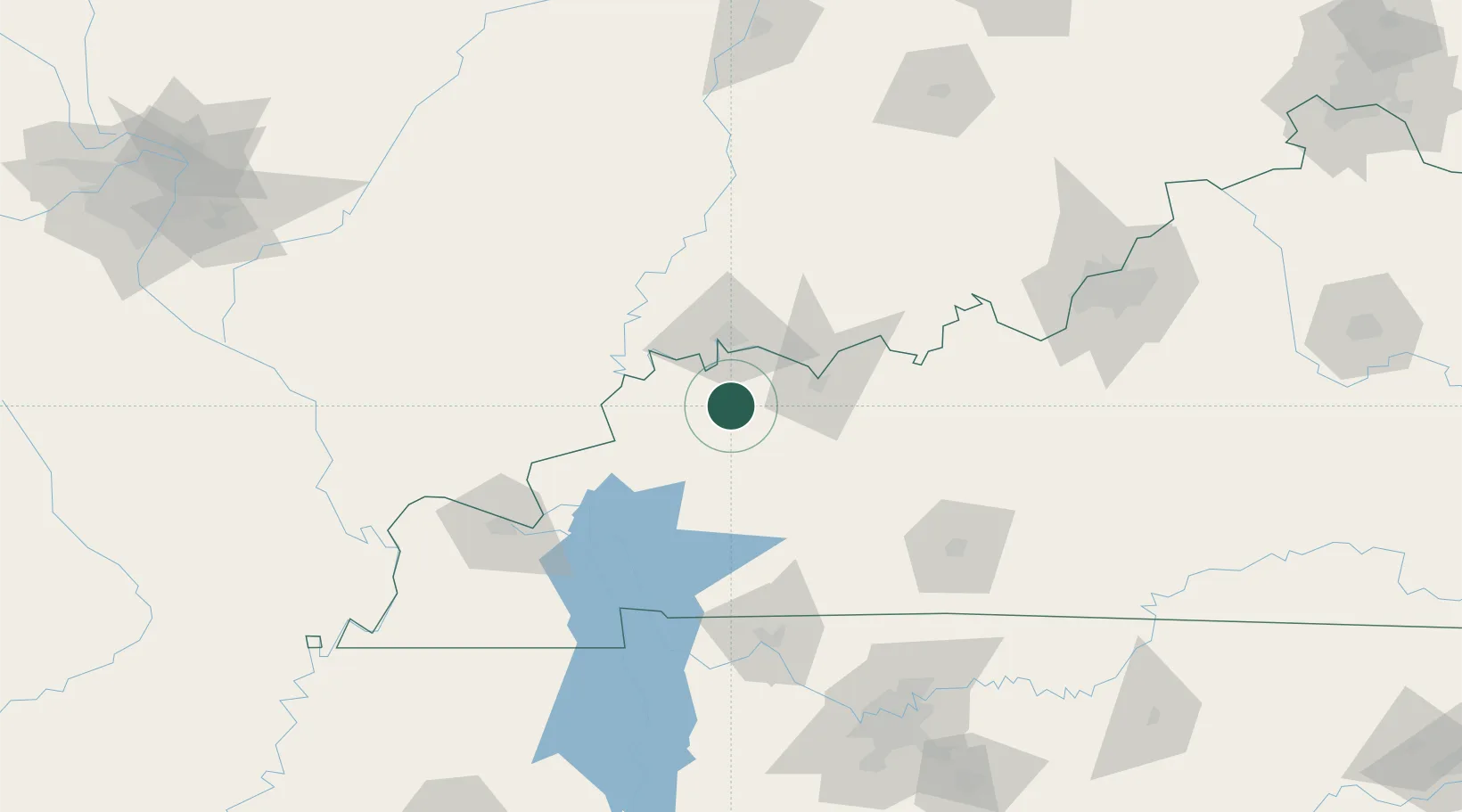
Location
Nearby Logistics Neighbours
Cities
- 1Sebree7 km
- 2Dixon20 km
- 3Hanson27 km
- 4Providence, Webster35 km
- 5Uniontown37 km
Ports
- 1Port Of Memphis372 km
- 2Gary441 km
- 3Indiana Harbor446 km
- 4Calumet Harbor453 km
- 5Michigan City457 km
Airports
Trade Zones
- 1FTZ No. 177 Evansville38 km
- 2FTZ No. 294 Western Kentucky113 km
- 3FTZ No. 029 Louisville167 km
- 4FTZ No. 078 Nashville169 km
- 5FTZ No. 072 Indianapolis253 km
DatabookThe Record of Consolidated Knowledge
United States beyond logistics?