Medium airport · United States
Veterans Airport of Southern IllinoisKMWA
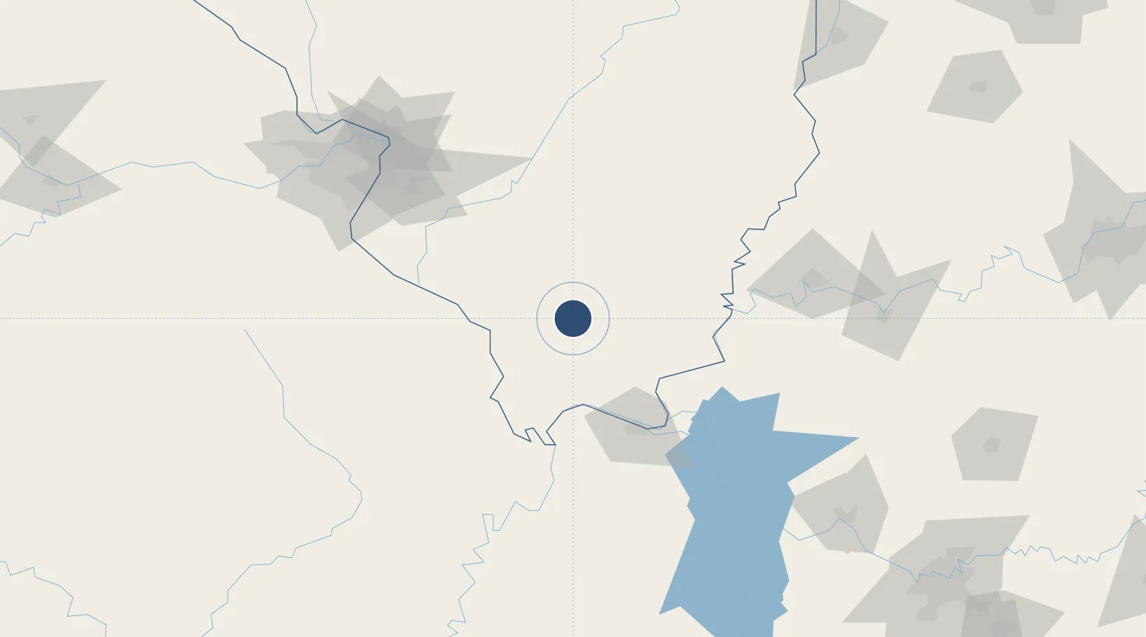
37.7512°, -89.0166°
8,012 ft
Longest runway
2
Runways
472 ft
Elevation
Runway & Layout

Radio Frequencies
AWOS
119.675 MHz
AWOS 3
TWR
128.4 MHz
MARION TWR
GND
121.7 MHz
CLD
125.3 MHz
CLNC DEL
CTAF
128.4 MHz
CNTR
125.3 MHz
KANSAS CITY CNTR
RDO
110.4 MHz
ST LOUIS RDO
UNIC
122.95 MHz
UNICOM
Runways · 2
| Runway | Dimensions | Surface | True heading | Lit |
|---|---|---|---|---|
| 02/20 | 8,012 × 150ft | Asphalt | 023° | ✓ |
| 11/29 | 4,997 × 100ft | Asphalt | 108° | ✓ |
Airport Specifications
IATA code
MWA
ICAO code
KMWA
Airport class
Medium airport
Scheduled service
Yes
Runway surface
Asphalt
Served city
Marion
Location
Nearby Logistics Neighbours
Airports
Cities
- 1Pomona31 km
- 2Du Quoin34 km
- 3Carrier Mills36 km
- 4Vienna39 km
- 5Pinckneyville49 km
Ports
- 1Port Of Memphis316 km
- 2Gary453 km
- 3Indiana Harbor456 km
- 4Calumet Harbor461 km
- 5Chicago475 km
Trade Zones
- 1FTZ No. 294 Western Kentucky85 km
- 2FTZ No. 177 Evansville126 km
- 3FTZ No. 031 Granite City151 km
- 4FTZ No. 102 St. Louis County178 km
- 5FTZ No. 283 West Tennessee230 km
DatabookThe Record of Consolidated Knowledge
United States beyond logistics?