Transport Functions
Rail
Road
Hub Profile
Place type
Populated place
Region
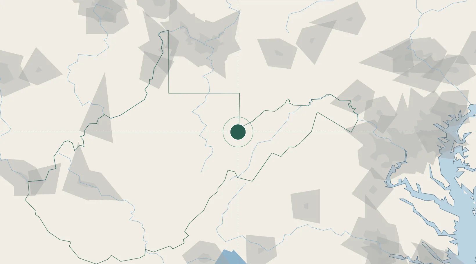
West Virginia
Population
565
Time zone
America/New_York
Elevation
925 m
Location
Nearby Logistics Neighbours
Cities
- 1Bayard18 km
- 2Deer Park34 km
- 3Fairview34 km
- 4Evansville38 km
- 5Bellington44 km
Ports
- 1Fredericksburg201 km
- 2Washington D.C.215 km
- 3Alexandria217 km
- 4Baltimore252 km
- 5Richmond256 km
Airports
Trade Zones
DatabookThe Record of Consolidated Knowledge
United States beyond logistics?